
Country GermanyFrance Basin size 1,960 km (760 sq mi) Source elevation 430 m | Length 99.5 km | |
 | ||
Main source Saarland430 m (1,410 ft) | ||
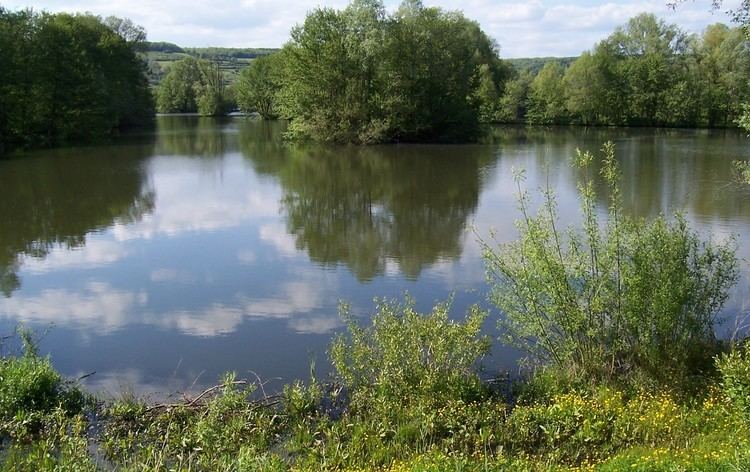
The Blies is a right tributary of the Saar in southwestern Germany (Saarland) and northeastern France (Moselle). The Blies flows from three springs in the Hunsrück near Selbach, Germany. It is approximately 100 km long, ending in the French city of Sarreguemines. It flows through Sankt Wendel, Ottweiler, Neunkirchen, Bexbach, Homburg and Blieskastel (Blieskastel are named after the river). Its lower course forms the border between France and Germany.
Contents
Map of Blies
World War II
Fighting took place on the Blies during the Lorraine Campaign, fought from September to December 1944 by the Third United States Army, famously led by George S. Patton. The 35th Infantry Division fought along the Blies following its battle at Sarreguemines in early December, the former part of the larger assault on the West Wall.