
- location north of Yass Junction - location near Tarcoola | - elevation 605 m (1,985 ft) - elevation 495 m (1,624 ft) | |
 | ||
Episode 10 greendale blakney creek
The Blakney Creek, a mostly–perennial river that is part of the Lachlan sub-catchment of the Murrumbidgee catchment within the Murray–Darling basin, is located in the South West Slopes region of New South Wales, Australia.
Contents
- Episode 10 greendale blakney creek
- Map of Blakney Creek Bevendale NSW Australia
- Course and featuresEdit
- References
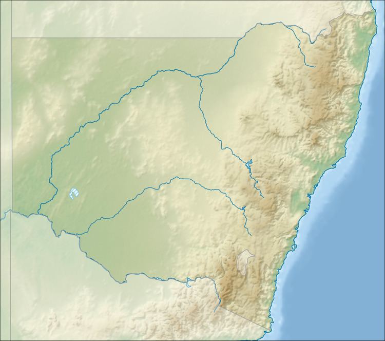
Map of Blakney Creek, Bevendale NSW, Australia
Course and featuresEdit
The Blakney Creek (technically a river) rises north northeast of the Yass Junction, on the south western slopes of the Great Dividing Range, and flows generally northeast before reaching its confluence with the Lachlan River near Tarcoola. The creek descends 110 metres (360 ft) over its 31-kilometre (19 mi) course.
References
Blakney Creek Wikipedia(Text) CC BY-SA