
Airport type Public/Military 4/22 4,632 Elevation 134 m Phone +1 434-292-2193 | Elevation AMSL 439 ft / 134 m 4,632 1,412 Code BKT | |
 | ||
Address Dominy Corner Road, Blackstone, VA 23824, USA Similar Crewe Municipal Airport, US Army Departme, Dinwiddie County Airport‑Ptb, Crewe Municipal Airport‑W | ||
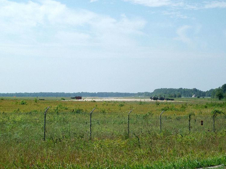
Blackstone Army Airfield (IATA: BKT, ICAO: KBKT, FAA LID: BKT), also known as Allen C. Perkinson Airport, is located two miles (3 km) east of the central business district of Blackstone, a town in Nottoway County, Virginia, United States. It is owned by the United States Army and the Town of Blackstone.
Contents
It is named for Allen C. Perkinson, a CAP Virginia Wing Commander in the 1940s.
Mc 6 jump at blackstone army airfield gopro riggers
History
During World War II the airfield was used by the United States Army Air Forces. It was used by Third Air Force as a group training airfield, and later by Air Technical Service Command.
Facilities and aircraft
The airport covers an area of 600 acres (240 ha) which contains two concrete paved runways: 4/22 measuring 4,632 x 150 ft (1,412 x 46 m) and 1/19 measuring 4,032 x 75 ft (1,229 x 23 m). For the 12-month period ending July 31, 2006, the airport had 3,482 aircraft operations, an average of 9 per day: 85% military and 15% general aviation.