
- location Moulamein Basin area 791 km² | - elevation 322 m (1,056 ft) - elevation 70 m (230 ft) | |
 | ||
Cities | ||
Cavoodle puppy playing billabong creek farm
The Billabong Creek, a party perennial stream of the Murray River catchment within the Murray-Darling basin, is located in the Riverina region of New South Wales, Australia.
Contents
- Cavoodle puppy playing billabong creek farm
- Map of Billabong Creek Illabo NSW Australia
- Bonics estate billabong creek jerilderie
- Course and features
- References
Map of Billabong Creek, Illabo NSW, Australia
At 320 kilometres (200 mi) (with some estimates ranging up to 596 kilometres (370 mi)), Billabong Creek is believed to be the longest creek in the world.
Bonics estate billabong creek jerilderie
Course and features
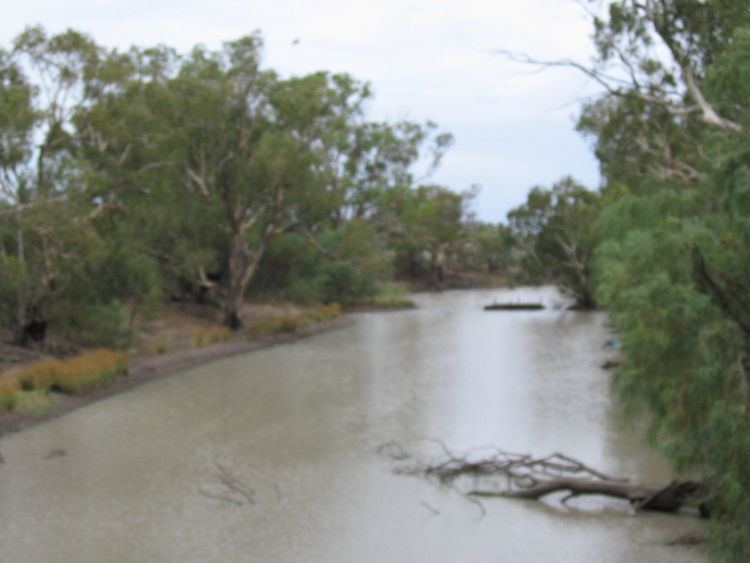
Formed by the confluence of the Yarra Yarra Creek and Little Billabong Creek, Billabong Creek rises on the Great Dividing Range, north of Holbrook, and flows generally west, northwest, and west, joined by sixteen minor tributaries before reaching its confluence with the Edward River, at Moulamein. The creek descends 252 metres (827 ft) over its 320 kilometres (200 mi) course.
From source to mouth, the creek passes through the towns of Morven, Culcairn, Walbundrie, Rand, Jerilderie, Conargo, Wanganella, and Moulamein.
The creek has a catchment area of 791 square kilometres (305 sq mi) and is the main present drainange line between the Murray and the Murrumbidgee rivers. Alluvial deposits from the system fill a long narrow paleovalley that extends for about 150 kilometres (93 mi) between Garryowen to Walla Walla.