
Population 575 (2011 census) LGA(s) Federation Council Local time Friday 11:14 PM | Postcode(s) 2642 Postal code 2642 | |
 | ||
Location 569 km (354 mi) from Sydney357 km (222 mi) from Melbourne117 km (73 mi) from Wagga Wagga79 km (49 mi) from Albury Weather 22°C, Wind NE at 19 km/h, 58% Humidity | ||
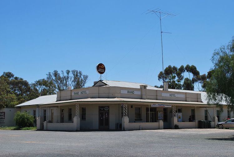
Rand is a town in the Riverina district of New South Wales, Australia. It is located in the Federation Council local government area. Based upon the 2011 census, Rand had a population of 575.
Map of Rand NSW 2642, Australia
It was formerly the terminus of the Rand railway line from Henty, which opened in 1920 and closed in 1975.
Rand Post Office opened on 1 January 1926.
References
Rand, New South Wales Wikipedia(Text) CC BY-SA