- elevation 506 m (1,660 ft) Source East End Lake | - elevation 283 m (928 ft) | |
 | ||
- location Huntsville, Muskoka District Municipality | ||
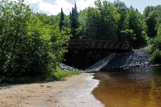
2014 big east river x
The Big East River is a river in Muskoka District and Nipissing District in Northeastern Ontario, Canada. The river is in the Great Lakes Basin, is a left tributary of the Muskoka River, and flows from Algonquin Provincial Park to Huntsville.
Contents
- 2014 big east river x
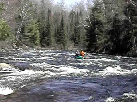
- Kayaking the big east river hunsville ontario
- CourseEdit
- TributariesEdit
- References
Kayaking the big east river hunsville ontario
CourseEdit
For a map showing the river course, see this reference.
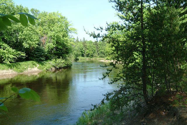
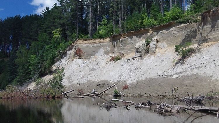
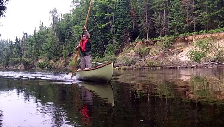
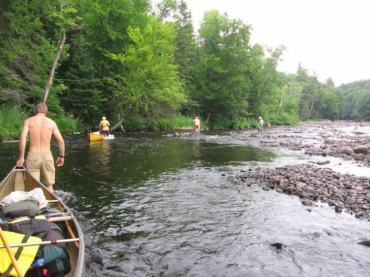
The Big East River begins at East End Lake in Algonquin Provincial Park in geographic Hunter Township, Nipissing District. It loops east and south to Red Lake in geographic Peck Township, turns southwest to West Harry Lake, then leaves the lake southwest over West Harry Lake Dam, through the Big Cedar Chutes, and enters geographic Finlayson Township. The river passes from Algonquin Provincial Park into Big East River Provincial Park, heads over Finlayson Lake Dam and through the Finlayson Rapids, and enters Muskoka District at geographic Sinclair Township in the incorporated township of Lake of Bays. It continues southwest through the McBrien Rapids to Distress Lake, where it takes in the right tributary Tonawanda Creek, over Distress Dam, and through McArthur Chute. The river leaves Big East River Provincial Park, enters geographic Chaffey Township in the town of Huntsville, passes the Dyer Memorial on the right bank near the settlement of Williamsport, and enters a section of oxbows and loops. It passes Arrowhead Provincial Park on the right bank, takes in the right tributary Little East River, flows under Ontario Highway 11, and reaches its mouth at Lake Vernon. Lake Vernon flows via the North Branch Muskoka River, then the Moon River and Musquash River to Lake Huron.
TributariesEdit