
Website bhuapur.tangail.gov.bd Population 189,913 (2011) | Time zone BST (UTC+6) Area 225 km² | |
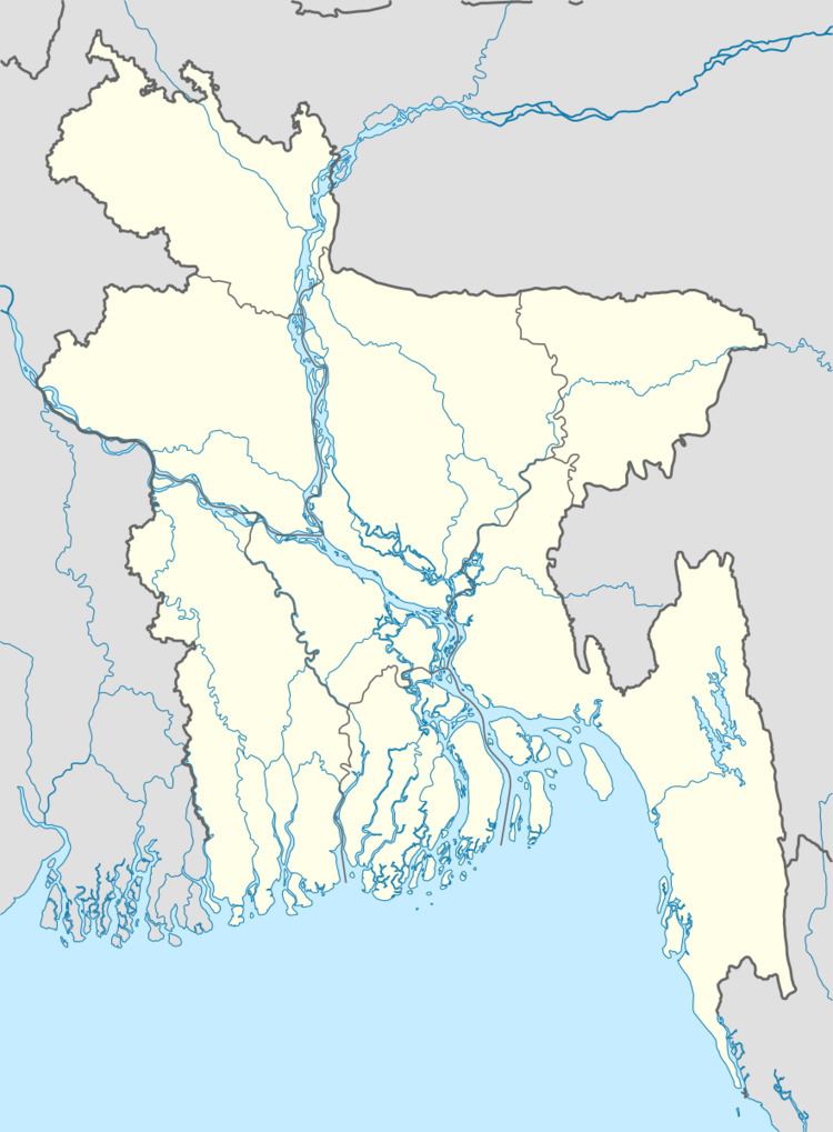 | ||
Bhuyanpur (Bengali: ভূঞাপুর) is an Upazila of Tangail District in the Division of Dhaka, Bangladesh.
Contents
Geography
Bhuyanpur is located at 24.4583°N 89.8667°E / 24.4583; 89.8667 . It has 32145 households and total area 225.02 km².The upazila is surrounded by Gopalpur & Sarishabari Upazila on the north, Kalihati Upazila on the south, Gopalpur and Ghatail Upazila on the east, and the Jamuna River on the west.
Demographics
At the 1991 census Bhuyanpur had a population of 177,095, of whom 87,854 were aged 18 or older. Males constituted 51.65% of the population, and females 48.35%. Bhuyanpur had an average literacy rate of 29.9% (7+ years), against the national average of 32.4%.
Administration
Bhuapur Upazila has 1 municipality(Bhuapur), 6 Unions, 115 Mauzas/Mahallas, and 146 villages.
The Union Parishads are-