
Area 193.4 km² | Time zone BST (UTC+6) Population 252,331 (2011) | |
 | ||
Website Official Website of Gopalpur | ||
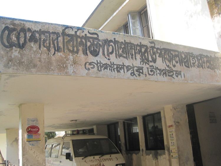
Gopalpur upazila uno interview for 201 gombuj jame masjid in tangail bangladesh
Gopalpur (Bengali: গোপালপুর) is an Upazila of Tangail District in the Division of Dhaka, Bangladesh.
Contents
- Gopalpur upazila uno interview for 201 gombuj jame masjid in tangail bangladesh
- Map of Gopalpur Upazila Bangladesh
- Geography
- Demographics
- Administration
- References
Map of Gopalpur Upazila, Bangladesh
Geography
Gopalpur is located at 24.5583°N 89.9167°E / 24.5583; 89.9167 . It has 49976 households and total area 193.37 km².
Demographics
As of the 1991 Bangladesh census, Gopalpur has a population of 252747. Males constitute 50.98% of the population, and females 49.02%. This Upazila's eighteen up population is 130298. Gopalpur has an average literacy rate of 63%, and the national average of 73.4% literate.
Administration
Gopalpur Upazila has 1 Municipality(Gopalpur), 7 Unions, 162 Mauzas/Mahallas, and 146 villages.
The Union Parishads are-
References
Gopalpur Upazila Wikipedia(Text) CC BY-SA