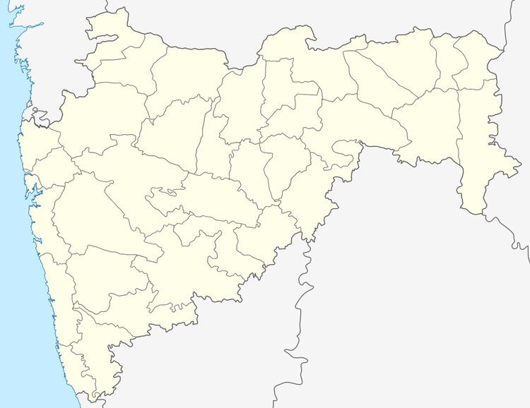
Country India District Pune Time zone IST (UTC+5:30) | State Maharashtra Elevation 588 m (1,929 ft) | |
 | ||
Neighborhoods Waghjai Nagar, MHADA Colony, Vidyanagar, Sanjay Nagar Similar Velhe taluka, Pune district, Baramati | ||
Bhor ( pronunciation ) is a city and a municipal council in Pune district in the state of Maharashtra, India.
Contents
- Map of Bhor Maharashtra 412206
- Geography
- Demographics
- Educational institutions
- Transportation
- History
- Films shot
- Trivia
- References
Map of Bhor, Maharashtra 412206
Geography
Bhor is located at 18°10′0″N 73°51′0″E. It has an average elevation of 588 metres (1929 feet).
Demographics
As of 2001 India census, Bhor had a population of 17,882. Males constitute 51% of the population and females 49%. Bhor has an average literacy rate of 78%, higher than the national average of 59.5%; with male literacy of 83% and female literacy of 73%. 12% of the population is under 6 years of age.
Educational institutions
Bhor is home to a large number of educational institutes such as, primary schools, high schools as well as colleges.In the town are two schools, the Raja Raghunathrao Vidhyalaya and the Shivaji Vidyalaya, and a college, A.T. College Bhor. Raja Raghunathrao Vidyalay in Bhor is 110 years old. An increasing number of educational institutes providing technological education are being founded near the town, such as:
Transportation
Bhor is midway between Pune and Satara on NH 4 (Pune Satara Highway)
History
Bhor was one of the princely states of British India, under the Poona political agency of the Bombay Presidency, and later the Deccan States Agency. Along with Akkalkot, Aundh, Phaltan, and Jath, it was one of the Satara Jagirs. Situated among the higher peaks of the Western Ghats, the state covered an area of 2,357 square kilometres, and had a population of 137,268 in 1901. Its Hindu rulers, of the Deshastha Brahmin caste, used the title "Pantsachiv" and were entitled to a hereditary 9-gun salute. Its flag was a red swallow-tailed pennant.
Films shot
The temple of Bhoreshwar, dedicated to Lord Shiva was a location for the film shoot of Aamir Khan's Mangal Pandey. The temple of Bhoreshwar, is a temple dedicated to lord Shiva in form of local deity of Bhor village (since ancient times). The idol of lord Shiva, or the Shiv Linga here is very old and is carved out of stone and recently modified by covering with KARPOOR KANTA (2015). The temple also features a huge Nandi Idol, a Lord Veerbhadraeshwara Idol, A trishul(Trident) and two small Nandi idols along with a stone cereal grinder, two stone water tubs, a Nandi mukh outlet, a stone carved tortoise, a stone idol of lord Nagdevta, a stone idol of Lord Ganesha, and entire stone flooring!
Narhe village near Bhatghar Dam on the banks of the Welvanda river bank is a beautiful location which has been attracting many Hindi and Marathi film producers since 2005.
Films shot have been Chalte Chalte,Mangal Pandey, Khakee,jolly L.L.B,Gandhi -My father, Chal Chalachal,Ramaya vastaviya, and lots of Marathi TV serials like raja shiv chatrapati etc.in rajwada
Films like lokmanya-ek yugpurush a marathi film is also shot in R.R high school bhor. It is a high school which was built by British and is 110 years old.
Trivia
Bhor is one of the Indian cities which has a Martian crater named after it. The other cities/towns are Amet, Broach, Kakori, Poona (Pune), Rayadurg, Sandila and Wer.
