
Time zone BST (UTC+6) Postal code 8300 | Website www.bhola.gov.bd | |
 | ||
Vulgar dance on launch bangla travel vlog bhola district
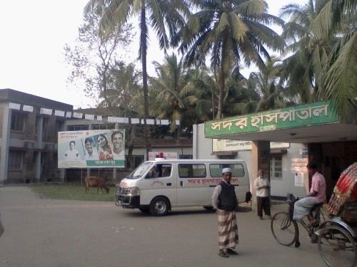
Bhola District (Bengali: ভোলা) is an administrative district (zila) in south-central Bangladesh, which includes Bhola Island, the largest island of Bangladesh. It is located in the Barisal Division and has an area of 3737.21 km². It is bounded by Lakshmipur and Barisal Districts to the north, the Bay of Bengal to the south, by Lakshmipur and Noakhali districts, the (lower) Meghna river and Shahbazpur Channel to the east, and by Patuakhali District and the Tetulia river to the west. About 400 mmcf natural gas has been found at Kachia in Bhola which is being used to run a power station.
Contents
- Vulgar dance on launch bangla travel vlog bhola district
- Map of Bhola District Bangladesh
- Islands
- Points of interest
- Subdistricts
- Members of ninth Jatiyo Sangshad 2014
- Education
- References
Map of Bhola District, Bangladesh
Islands
Points of interest
Subdistricts
Bhola district comprises the following upazilas:
- Bhola Sadar Upazila
- Daulatkhan Upazila
- Burhanuddin Upazila
- Tazumuddin Upazila
- Lalmohan Upazila
- Char Fasson Upazila
- Manpura Upazila
Members of ninth Jatiyo Sangshad (2014 - )
Education
There are 3 government colleges Bhola.
- Bhola Govt. High School
- Bhola Govt. College
- Bhola Girls High School
- Govt. Fazilatunnesa Women's College
- Dhaligour Nagar High School
- Karim Gonj High School
- Charfassion Govt. College.
- Fatema Matin Women's College.charfassion.
- Mofizabad F.H. Secondary School
- Bhurhanuddin Abdul Jabbar College
- Burhanuddin Mahila College
- Bhola Govt. Technical School & College
- Burhanuddin Kamil Madrasha
- Kutuba Secondary School
- Burhanuddin Secondary School
- Kulsum Rahman High School
- Goungapur Secondary School
- Daulatkhan Govt.High school
- Daulatkhan Govt.Girls High school
- Daulatkhan Abu-Abdullah Degree College
- Bhola Technical Traning Center.
References
Bhola District Wikipedia(Text) CC BY-SA