
Area 512.9 km² | Time zone BST (UTC+6) | |
 | ||
Website Official Map of the Tazumuddin Upazila | ||
Tazumuddin (Bengali: তজমুদ্দিন ) is an Upazila of Bhola District in the Division of Barisal, Bangladesh.
Contents
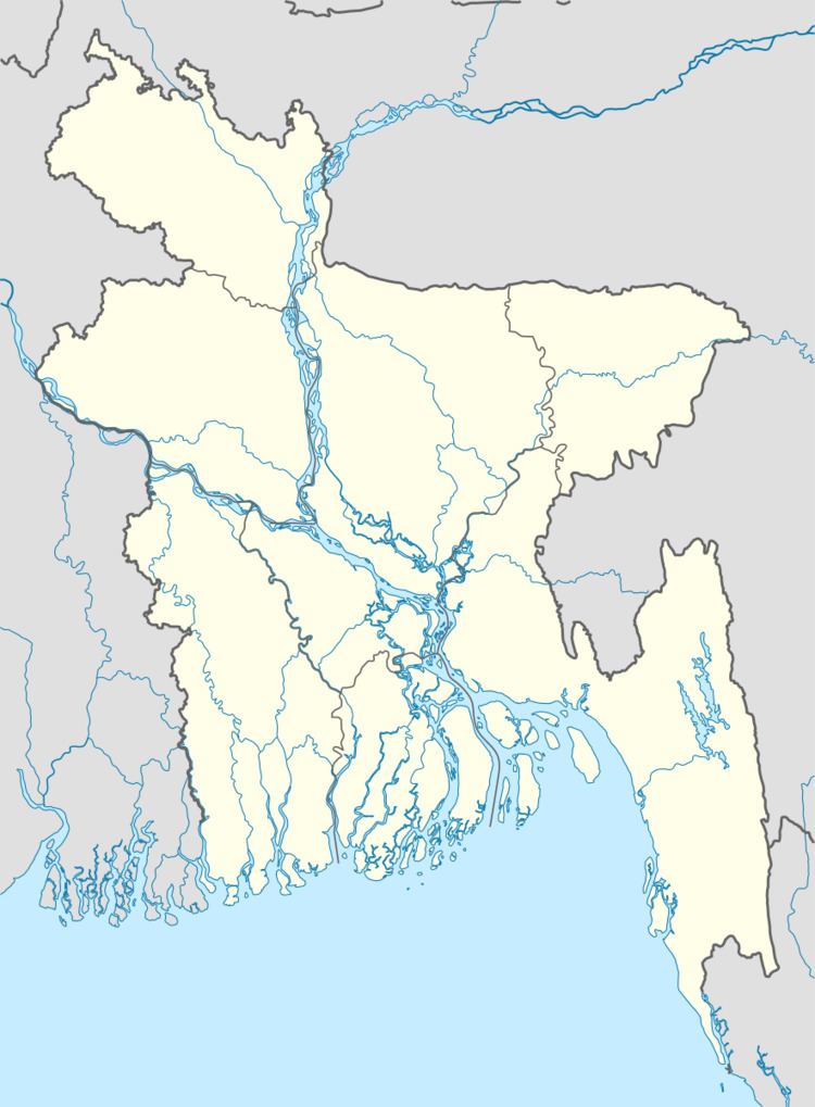
Map of Tazumuddin, Bangladesh
Geography
Tazumuddin is located at 22.4167°N 90.8486°E / 22.4167; 90.8486 . It has a total area of 512.92 km².
Demographics
According to the 1991 Bangladesh census, Tazumuddin had a population of 116,822, living in 20,444 households. Males constituted 51.94% of the population, and females 48.06%. The population aged 18 or over was 51,881. Tazumuddin had an average literacy rate of 27% (ages seven years and up), against the national average of 32.4%.
Administration
Tazumuddin has 5 Unions/Wards, 63 Mauzas/Mahallas, and 91 villages.
References
Tazumuddin Upazila Wikipedia(Text) CC BY-SA