
Area 373.2 km² | Time zone BST (UTC+6) | |
 | ||
Website Official Map of the Manpura Upazila | ||
Manpura (Bengali: মনপুরা ) is an Upazila of Bhola District in the Division of Barisal, Bangladesh.
Contents
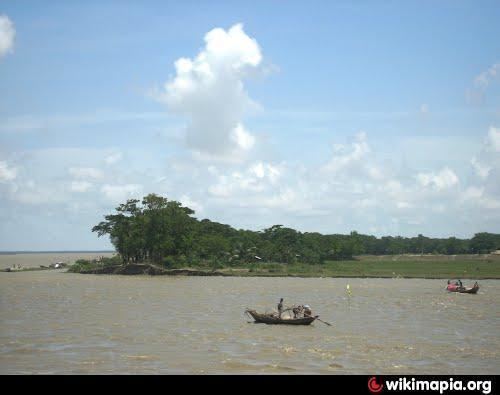
Map of Manpura Upazila, Bangladesh
Geography
Manpura is located at 22.2986°N 90.9792°E / 22.2986; 90.9792. It has 8,959 households and a total area of 373.19 km².
Demographics
According to the 1991 Bangladesh census, Manpura had a population of 51,361. Males constituted 51.63% of the population, and females 48.37%. The population aged 18 or over was 20,940. Manpura had an average literacy rate of 21.3% (7+ years), compared to the national average of 50.4%+.
Administration
Manpura has 4 Unions/Wards, 22 Mauzas/Mahallas, and 33 villages.
Education
Sakuchia Badiuzzaman Dakhil Madrasah. Sakuchia High School(Head Teacher :Md:Jamal Uddin)
Chairfayzuddin gomatoli govt. Primary school. Fakir hat
(HeadTeacher MD.EUNUS)
Phn..+8801714920511
Hazirhat secondary school. Hazir hat
( Head teacher MD. Alamgir Hossen)
Monpura Govt. Degree collage.hazir hat
Monoyera begum mohola collage.hazir hat
Abdulla-Al Islam Jakob collage.shakucia