
Website Official website Local time Tuesday 6:22 PM | Major highways Nh28C ,SH96 Area 4,697 km² Average annual precipitation 1,125 | |
 | ||
Weather 24°C, Wind W at 8 km/h, 44% Humidity Points of interest Ghantaghar (Clock Tower ) of, Imambara, Katernia eco huts, Dargah‑e‑Gausiya, Chota Imambara | ||
Bahraich District (Hindi:जनपद बहराइच, Urdu: ضلع بہرائچ) is one of the districts of Uttar Pradesh state of India, and Bahraich town is the district headquarters. Bahraich District is a part of Devipatan Division.
Contents
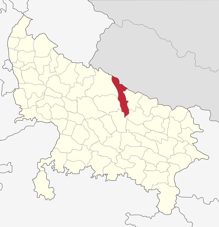
Map of Bahraich, Uttar Pradesh
History
Bahraich was in historic Awadh. The district was part of the Nanpara Taluqdari ruled by a succession of Rajas who owned more than three hundred villages in the district and all the forests. A large part of the education system as well as major roads and hospitals were legacies of the late Raja Sadat.
Geography
Bahraich borders Nepal districts Bardiya to the northwest and Banke to the northeast. The rest of Bahraich is surrounded by other districts in Uttar Pradesh: Lakhimpur and Sitapur on the west, Hardoi to the southwest, Gonda to the southeast, and Shravasti to the east.
Economy
In 2006 the Ministry of Panchayati Raj named Bahraich one of the country's 250 most backward districts (out of a total of 640). It is one of the 34 districts in Uttar Pradesh currently receiving funds from the Backward Regions Grant Fund Programme (BRGF).
Demographics
According to the 2011 census Bahraich district has a population of 3,478,257, This gives it a ranking of 90th in India (out of a total of 640). The district has a population density of 706 inhabitants per square kilometre (1,830/sq mi). Its population growth rate over the decade 2001–2011 was 46.08%. Bahraich has a sex ratio of 891 females for every 1000 males, and a literacy rate of 51.1%.
Bahraich is among the Muslim majority districts of the Indian state of Uttar Pradesh. Bahraich is a category "A" district i.e. having socio-economic and basic amenities parameters below the national average.
College
Sarvoodaya Degree College Mihinpurwa, Sarvoodaya Inter College Mihinpurwa
Seventh Day Adventish, Bahraich
Barrows Blue Bells Bahraich
Guru Kripa Divine Grace Public School
Care Nursery English School ( Play group to 8th)