Country India Region Punjab Elevation 186 m | State Punjab District Sri Muktsar Sahib Time zone IST (UTC+5:30) Population 6,550 (2001) | |
 | ||
Bhalaiana, sometimes spelled Bhallaianais a village in the Giddarbaha tehsil of Sri Muktsar Sahib district in Eastern Punjab, India.
Contents
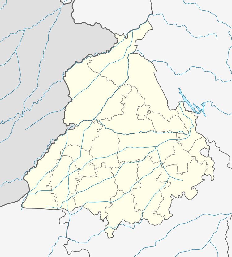
Map of Bhalaiana, Punjab
Geography
Bhalaiana is situated at 30°19′45″N 74°42′44″E, in the Sri Muktsar Sahib district of Indian Punjab, having an average elevation of 186 metres (610 ft).
Demographic
At the 2001 census, the village had a total population of 6,550 in 1,093 households, of whom 3,459 were males and 3,091 females. Thus males constituted 53% and females 47% of the population with the sex ratio of 894 females per thousand males.
Economy & others
Agriculture is the main occupation of the villagers, some of them have their own general and medical stores.
The village has a branch of the State Bank of Patiala.
References
Bhalaiana Wikipedia(Text) CC BY-SA
