
Population 207 (2011 census) Mean max temp Mean min temp Postal code 3395 | Postcode(s) 3395 Elevation 100 m Local time Monday 1:33 PM | |
 | ||
Location 395 km (245 mi) NW of Melbourne219 km (136 mi) S of Mildura38 km (24 mi) north of Warracknabeal94 km (58 mi) north of Horsham Weather 28°C, Wind SE at 14 km/h, 35% Humidity | ||
Beulah is a town in the southern Mallee region of Victoria, Australia. The town is in the Shire of Yarriambiack local government area, 395 kilometres north-west of the state capital, Melbourne. At the 2011 census, Beulah had a population of 207.
Contents
Map of Beulah VIC 3395, Australia
History
The town's name is taken from the Book of Isaiah, 62:4. In some English translations the word is given as "married" or "inhabited".
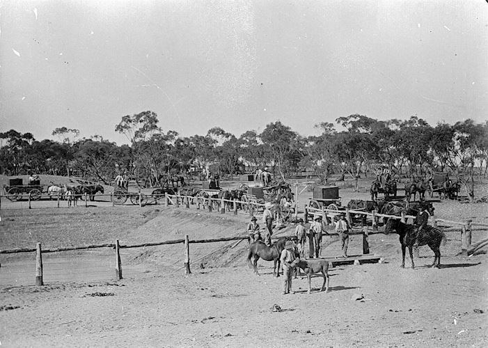
Beulah was established on land that was once part of Brim station. Closer settlement began in the 1880s and the town site was proclaimed in 1891. A Post Office opened on May 6, 1891 and the railway from Warracknabeal opened on 5 January 1893. The line to Hopetoun opened on 6 March 1894. The town claims to be the closest to the rabbit-proof fence, established to prevent the incursion of rabbit plagues.
The town today
Beulah had a successful local football club from 1891 to 2014, before merging with bitter rivals Hopetoun. Now Beulah-Hopetoun Football Netball Club, known as the Southern Mallee Giants, has football and netball teams competing in the Mallee Football League.