
Country United States GNIS feature ID 453109 Population 309 (2010) | State Indiana FIPS code 18-05122 Elevation 224 m Local time Sunday 6:34 PM | |
 | ||
Weather 17°C, Wind S at 16 km/h, 23% Humidity Area 48.15 km² (47.32 km² Land / 80 ha Water) | ||
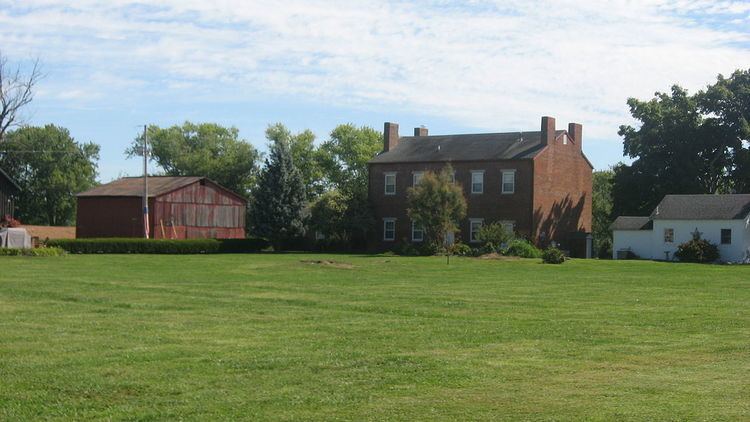
Bethlehem Township is one of twelve townships in Clark County, Indiana. As of the 2010 census, its population was 309 and it contained 127 housing units.
Contents
- Map of Bethlehem Township IN USA
- History
- Geography
- Unincorporated towns
- Adjacent townships
- Cemeteries
- References
Map of Bethlehem Township, IN, USA
History
Bethlehem Township was organized in 1816. It was named after the town of Bethlehem, Indiana.
Geography
According to the 2010 census, the township has a total area of 18.59 square miles (48.1 km2), of which 18.27 square miles (47.3 km2) (or 98.28%) is land and 0.31 square miles (0.80 km2) (or 1.67%) is water.
Unincorporated towns
(This list is based on USGS data and may include former settlements.)
Adjacent townships
Cemeteries
The township contains several cemeteries: Antioch, Bethlehem, Camp Creek, Louden, Mikesell, New Hope, Otto, Palmer, Patterson, Ross, Tiaris, Turner, and Waters (aka Stoner).
References
Bethlehem Township, Clark County, Indiana Wikipedia(Text) CC BY-SA