
Country United States Elevation 236 m Local time Friday 5:59 PM | GNIS feature ID 0453830 Area 97.62 km² Population 1,370 (2010) | |
 | ||
Weather 11°C, Wind W at 16 km/h, 78% Humidity | ||
Saluda Township is one of ten townships in Jefferson County, Indiana, United States. As of the 2010 census, its population was 1,370 and it contained 619 housing units. It was created by the Jefferson County Court of Common Pleas on Feb. 13, 1817. Saluda is derived from an Native American name meaning "river of corn".
Contents
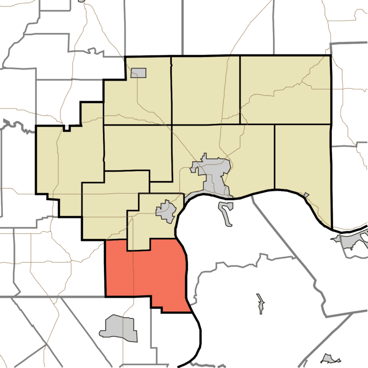
- Map of Saluda Township IN USA
- Geography
- Unincorporated towns
- Adjacent townships
- Cemeteries
- Major highways
- References
Map of Saluda Township, IN, USA
Geography
According to the 2010 census, the township has a total area of 37.69 square miles (97.6 km2), of which 37.35 square miles (96.7 km2) (or 99.10%) is land and 0.34 square miles (0.88 km2) (or 0.90%) is water. The streams of Big Saluda Creek, Farley Creek, Harts Falls Creek and Lee Creek run through this township.
Unincorporated towns
Adjacent townships
Cemeteries
The township contains the following cemeteries: Barnes, Harrell (also called Fairview), Maddox, Marble Hill (also called Bowman), Marling, Mt. Zion, New Bethel Methodist Church, New Prospect, Swan