
Country United States GNIS feature ID 453700 Local time Tuesday 3:03 PM | FIPS code 18-57438 Elevation 219 m Population 958 (2010) | |
 | ||
Weather 17°C, Wind NW at 13 km/h, 70% Humidity Area 44.94 km² (44.21 km² Land / 73 ha Water) | ||
Owen Township is one of twelve townships in Clark County, Indiana. As of the 2010 census, its population was 958 and it contained 462 housing units.
Contents
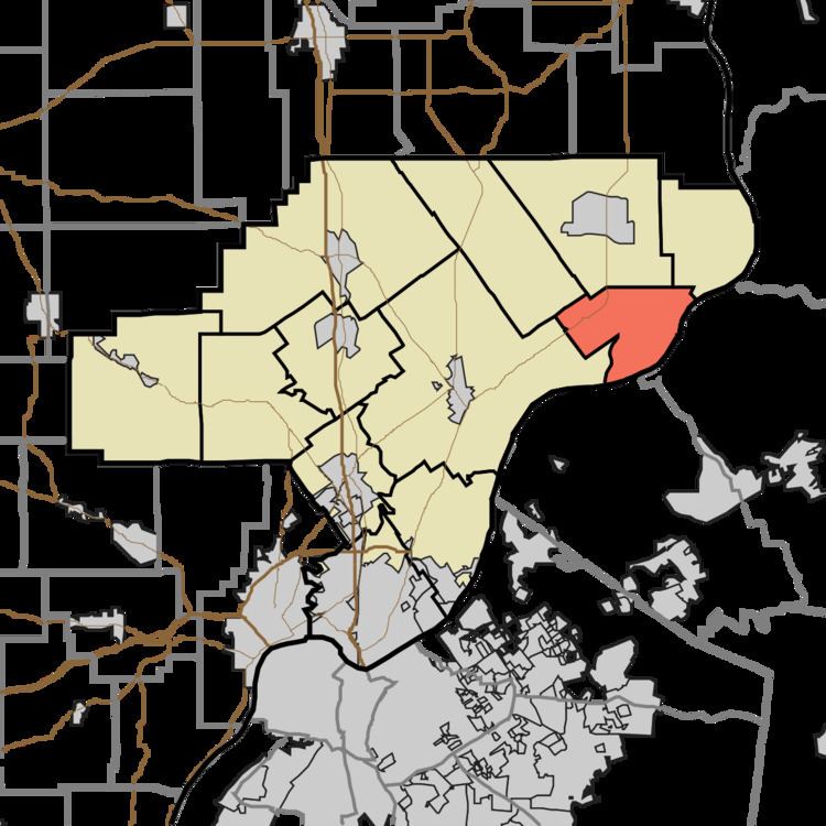
- Map of Owen Township IN USA
- History
- Geography
- Unincorporated towns
- Adjacent townships
- Major highways
- Cemeteries
- References
Map of Owen Township, IN, USA
History
Owen Township was established around 1830. It was named for John Owen, a county commissioner.
Geography
According to the 2010 census, the township has a total area of 17.35 square miles (44.9 km2), of which 17.07 square miles (44.2 km2) (or 98.39%) is land and 0.28 square miles (0.73 km2) (or 1.61%) is water.
Unincorporated towns
(This list is based on USGS data and may include former settlements.)
Adjacent townships
Major highways
Cemeteries
The township contains several cemeteries: Bowyer (a.k.a. Hogan), Conn, Hibernia, Hogan, Manaugh, Olive Branch, Owen Creek Presbyterian/Baptist Church, Perry, Pleasant View, Shiloh (a.k.a. Owen Township)
References
Owen Township, Clark County, Indiana Wikipedia(Text) CC BY-SA