
Established November 9, 1953 Elevation 120 m (390 ft) Area 635 km² | Time zone EET (UTC+2) Population 51,391 (2016) Subdivisions 42 | |
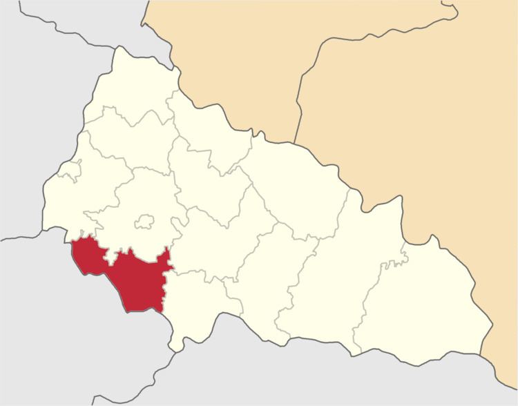 | ||
Berehove Raion (Ukrainian: Берегівський район, Hungarian: Beregszászi járás) is a district (raion) in Zakarpattia Oblast (province) in the westernmost corner of Ukraine. The administrative center is Berehove, which does not belong to the raion and is incorporated separately as a city of oblast significance. For many centuries the territory of the district was part of Bereg County. Population: 51,391 (2016 est.).
Contents
- Map of Berehivskyi district Zakarpatska Ukraine
- Location
- Demographics
- Administrative division
- Transportation
- References
Map of Berehivs'kyi district, Zakarpatska, Ukraine
Location
The district covers 635 km2 (245 sq mi) and composes about 5.5% territory of the region. It is located at the south-western portion of the region on the border with Hungary. The district also borders with such districts of the region as Mukachevo, Uzhhorod, Irshava, and Vynohradove.
Through the district flow three rivers Tisza, Borzhava, and Salva. Most of the territory is an open plain with some elevation at its north-eastern portion, closer to the Carpathian ridges.
Demographics
According to the 2001 Ukrainian Census, the population of Berehivskyi Raion is 54,614(as of 2004), which is about 4% of the Zakarpattia region population. About 50,000 reside in a rural area.
Although ethnic Hungarians in Ukraine are in majority here (76.1%), ethnic groups are relatively numerous in Berehove Raion. The largest of these are Ruthenians (18.8%), Russians (0.7%), Romani (4.1%).
Administrative division
The Berehove district (raion) consists of one town municipality and 30 rural municipalities, all of which also have their respective administrative councils (rada). The administrative center of the district is situated in the city of Berehovo which is not part of the district administration. The city of Berehovo was designated into a special city municipality of regional significance in 2001. Some of the municipalities of the district consist of several settlements, mostly rural.
Note that most of the settlements regained their original Hungarian names since the Ukrainian independence. Some settlements' names end with o, unlike within the Ukrainian grammar which requires ending e. Those names are traditional and in the local Ukrainian dialect.
Administrative center: Berehovo (Beregszász)
Town municipality: Batiovo (Batyu)
Rural municipalities:
Note: Hungarian name of places are given in parenthesis.
Transportation
Through the district runs one of the European route which in fact consists of two different ones and . The highway runs from the north from Mukacheve straight to Berehove after which it continues on south-east along the Hungarian border towards Romania. A regional highway of a state importance P54 branches away from E58/81 in Berehove towards the Hungarian border and in the Astei municipality is going through a border checkpoint traveling towards Jánd (Hungary). From Berehove also originates a national highway that traveling through Vynohradiv heads towards Khust, connecting to H09.
Beside the Astei checkpoint there two others of local importance located in the western portion of the district, one in the Koson municipality, another one in the Batrad.
Out of local highways through the district run such highways as T0714, T0707, T0715, T0731, T0717. The biggest local highway is T0707 which runs through most of the district.
There are six railroad stations out of which the stations in Batyovo and Berehove are the biggest. The station Batyovo, in fact, is situated at the intersection connecting such important cities of the region as Chop, Mukacheve, and Berehove.