
Country United States GNIS feature ID 0766220 Area 129.4 km² Population 1,020 (2010) | FIPS code 29-04564 Elevation 285 m Local time Friday 6:14 AM | |
 | ||
Weather -6°C, Wind S at 8 km/h, 88% Humidity | ||
Benton Township is one of ten townships in Andrew County, Missouri, United States. As of the 2010 census, its population was 1,020.
Contents
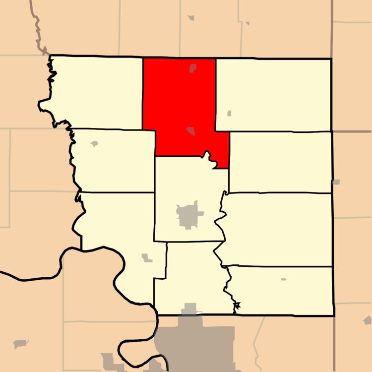
Map of Benton Township, MO, USA
The township was named after Thomas Hart Benton, a senator from Missouri.
Geography
Benton Township covers an area of 50.0 square miles (129.4 km2) and contains two incorporated settlements: Bolckow and Rosendale.
The streams of Kellog Branch, Lower Neely Branch, Riggin Branch, Upper Neely Branch and White Cloud Creek run through this township.
Transportation
Benton Township contains one airport, Furst Landing Strip.
References
Benton Township, Andrew County, Missouri Wikipedia(Text) CC BY-SA