
OSI/OSNI grid C7219411337 Prominence 171 m Mountain range Sperrins | Elevation 465 m Province Ulster Parent range Sperrins | |
 | ||
Topo map OSNI Discoverer Series 13 The Sperrins (1:50000), OSNI Activity Map Sperrins (1:25000) Similar Mullagh - County Londonderry, Binevenagh, Sawel Mountain, Slieve Gallion, Mullaghcarn | ||
U s army signal base northern ireland benbradagh
Benbradagh (from Irish Binn Bhradach, meaning "thief's peak") is a mountain in County Londonderry, Northern Ireland. It is the second most northerly summit in the Sperrin Mountains area and the 564th highest summit in Ireland. It rises to 465 metres (1,526 ft) and lies to the east of Dungiven. It was used from the 1940s to the early 1970s as a United States Military Base It is popular with paragliders due to the steep terrain. The mountain is accessible via the Curragh road which stops near the summit.
Contents
- U s army signal base northern ireland benbradagh
- Map of Benbradagh Londonderry UK
- Falling snow outside derry l derry benbradagh n ireland jan 13th 2015
- References
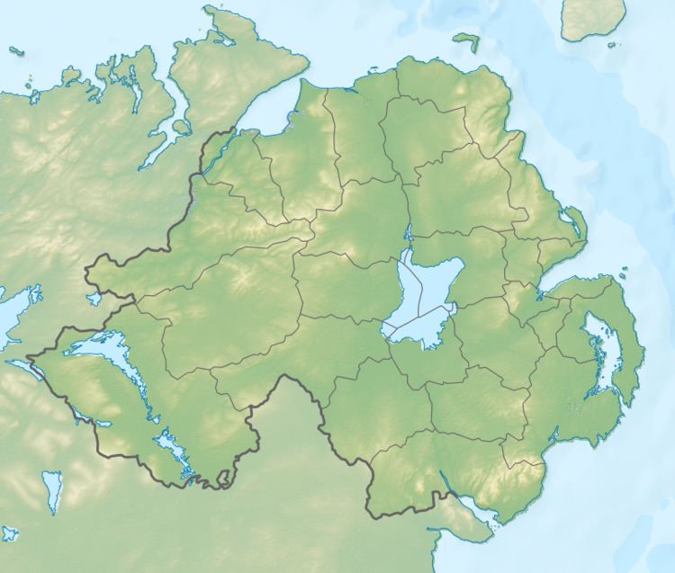
Map of Benbradagh, Londonderry, UK
Falling snow outside derry l derry benbradagh n ireland jan 13th 2015
References
Benbradagh Wikipedia(Text) CC BY-SA