
Time zone CET (UTC+01) Area 790 km² ISO 3166 code ISO 3166-2:TN Team CS Hammam-Lif | Created December 3, 1983 Area rank Ranked 22nd of 24 Postal prefix xx Population 631,842 (2014) | |
 | ||
Points of interest Zahrour, Mornag Eco Farm, Le Casino, Centre Said, Jebel Boukornine | ||
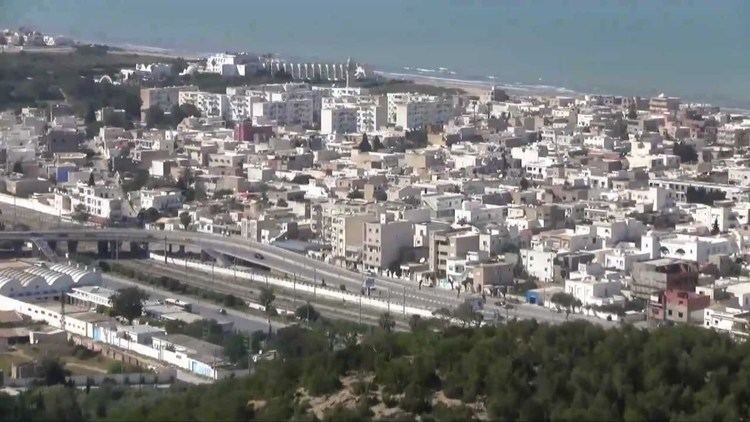
Ben Arous Governorate (Tunisian Arabic: ولاية بن عروس Wilāyat Bin ‘Arūs [bɪn.ʕæˈruːs]) is one of the twenty-four governorates of Tunisia. It is in the north-east of Tunisia and adjoins smaller Tunis Governorate. It covers an area of 790 km² and had a population of 631,842 as at the 2014 census. The capital is Ben Arous.
Contents
Map of Ben Arous, Tunisia
Geography
The governorate is centred 10 kilometres (6.2 mi) from the capital and surrounded by the governorates of Tunis, Zaghouan, Manouba, and Nabeul. It has a short coastline, along the Gulf of Tunis to the northeast including the country's main commercial port, Radès.
The average temperature is between 6.8 °C and 17.9 °C, and annual rainfall is 275-515 millimeters.
Administrative divisions
Administratively, the governorate is divided into twelve delegations (mutamadiyat), eleven municipalities, six rural councils, and 75 sectors (imadas). The delegations and their populations from the 2004 and 2014 censuses, are listed below:
Eleven municipalities are in Ben Arous Governorate: