
Time zone CET (UTC+01) Area 1,137 km² ISO 3166 code ISO 3166-2:TN | Created July 31, 2000 Area rank Ranked 20th of 24 Postal prefix xx Population 379,518 (2014) | |
 | ||
Manouba Governorate (Arabic: ولاية منوبة Wilāyat Mannūbah [ˌmænˈnuːbæ]) is one of the twenty-four governorates (provinces) of Tunisia and is in inland, northern Tunisia. It has a population of 379,518 (as at the 2014 census), and an area of 1,137 km2. The capital is Manouba.
Contents
Map of La Manouba, Tunisia
Geography
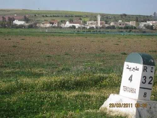
The governorate is 5.5 kilometres (3.4 mi) from the capital, in an area of foothills of and verdant plains below the Tell Atlas uplands and borders Bizerte, Zaghouan, Beja, Tunis, Ariana and Ben Arous Governorates. The east and west of the province have high foothills; from both ranges the three lakes of Tunis and the Bay of Tunis can be seen. The east part of the west range is named the Forest of Tebourba, one of its four largest settlements.
The average temperature is 18.7 °C and annual rainfall is 450 millimeters.
Administrative divisions
Administratively, the governorate is divided into eight delegations (mutamadiyat), nine municipalities, eight rural councils and 47 imadas.
Nine municipalities are in Manouba Governorate:
By contrast eight delgations are in the area.