
Time zone CET (UTC1) Population 88,322 (2014) | Local time Thursday 8:49 PM | |
 | ||
Weather 13°C, Wind N at 8 km/h, 88% Humidity | ||
Esprit batha ben arous tunisia 2013
Ben Arous (Tunisian Arabic: بن عروس ben ɛarūs) is a coastal town in north-eastern Tunisia, part the agglomeration of Tunis, also called "Grand Tunis". It is located at the south of Tunis city center at around 36°44′50″N 10°20′0″E and is the capital of the Ben Arous Governorate.
Contents
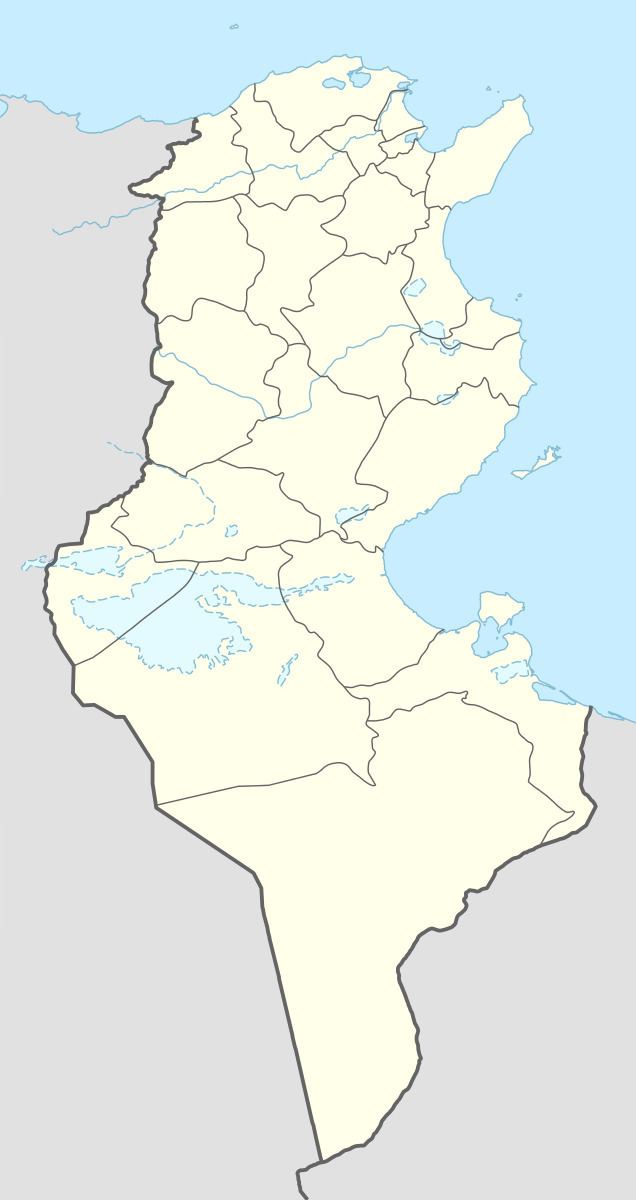
Map of Ben Arous, Tunisia
Information about Ben Arous
East Ben Arous is on the Sidi Fathallah Plain which was Muslim saint who died in 1444. It is known for curing female infertility. A farm was laid out on the plain where, much awaited, Sousse Road will be built. The Sidi Fathallah Plain is where the battle of Ad Decimum was fought. This battle was the beginning, of the end of the domination by the Byzantine Army General Belisarius, on September 13, 523 AD.
Although Tunisia was a French protectorate from (1881–1956), in this time North Ben Arous was renamed 'Fochville' and was the home of many employees of the Tunisian Railway Firm Company whose stores were on what is now the Sidi Fathallah Plain. However, South Ben arous was mainly inhabited by businessmen from Tunis, who were French merchants and immigrants. Northeast Ben Arous was well known for its agriculture, and was famous for wines, grapes, vegetables, fruit and other produce.
But today Ben Arous is primarily an industrial zone with agro-alimental and ferroviary factories.