
 | ||
Belogradchik Glacier (Bulgarian: ледник Белоградчик, ‘Lednik Belogradchik’ \'led-nik be-lo-grad-'chik) is the 14 km long and 5.6 km wide glacier in southern Aristotle Mountains on Oscar II Coast in Graham Land, Antarctica situated south of Jeroboam Glacier and west of Ambergris Glacier. It is draining the southeast slopes of Madrid Dome, and flowing southeastwards to join Flask Glacier east of Mount Fedallah.
Contents
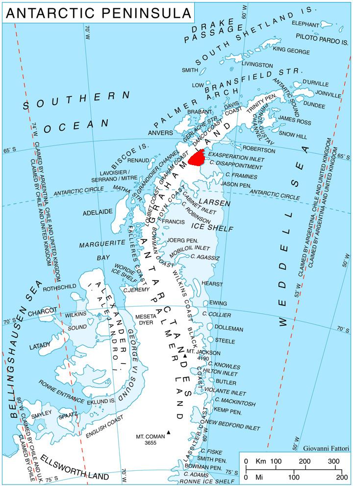
Map of Belogradchik Glacier, Antarctica
The feature is named after the town of Belogradchik in northwestern Bulgaria.
Location
Belogradchik Glacier is located at 65°41′30″S 62°42′30″W. British mapping in 1976.
Maps
References
Belogradchik Glacier Wikipedia(Text) CC BY-SA