
Capital Bellavista Time zone PET (UTC-5) Area 4.56 km² Local time Thursday 8:30 AM Team KDT Nacional | Subdivisions 1 populated center UBIGEO 070102 Elevation 34 m | |
 | ||
Weather 26°C, Wind S at 14 km/h, 83% Humidity University National University of Callao | ||
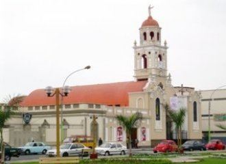
Bellavista is a district of the Constitutional Province of Callao in Peru, and one of the seven districts that comprise the port city of Callao.
Contents
Map of Bellavista District, Peru
The current mayor of the district is Ivan Rivadeneyra.
Geography
The district has a total land area of 4.56 km². Its administrative center is located 34 meters above sea level.
Boundaries
Bellavista is the only district in the Callao to have an almost perfect geometrical shape, as it is a rectangle where the southern border with both the Lima Province and La Perla is marked by Avenida Venezuela.
On the north, Avenida Oscar Benavides (formerly known as Avenida Colonial) marks the district's border with the Callao District, which it also borders on the west in Jr. Andrés Santiago Vigil. On the east, the district ends at the Santiago Tábara Naval Hospital or the western perimeter of the National University of San Marcos, where the Lima Province (or more specifically, the Lima District) begins
Demographics
According to the 2005 census by the INEI, the district had 72,761 inhabitants, and a population density of 15,956.4 persons/km².
The official see of the Callao Regional Government is located in Bellavista.