
Founded October 22, 1964 Subdivisions 1 populated center Area 2.75 km² | Capital La Perla Elevation 18 m | |
 | ||
Province Constitutional Province of Callao | ||
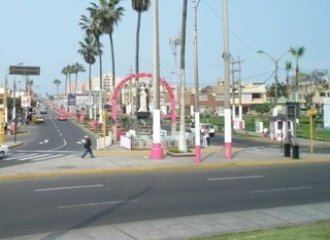
La Perla is a district of the Constitutional Province of Callao in Peru, and one of the seven districts that comprise the port city of Callao.
Contents
Map of La Perla District, Peru
The current mayor of La Perla is Pedro Jorge López Barrios. It was officially established as a district on October 22, 1964.
Geography
The district has a total land area of 2.75 km². Its administrative center is located 18 meters above sea level.
Boundaries
Demographics
According to the 2005 census by the INEI, the district has 59,602 inhabitants, a population density of 21,673.5 persons/km² and 14,699 households in the district.
References
La Perla District Wikipedia(Text) CC BY-SA