
Name meaning The house of Aula | ||
 | ||
Weather 11°C, Wind SW at 11 km/h, 92% Humidity | ||
Beit Ula, Beit Aula, (Arabic: بيت أولا) is a Palestinian town in the Hebron Governorate, located ten kilometers northwest of Hebron, in the southern West Bank.
Contents
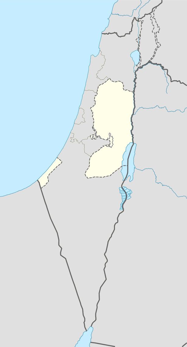
Map of Bayt Ula
History
The Palestine Exploration Fund's Survey of Western Palestine (SWP) suggested Beit Aula as a place for the Biblical Bethel.
Ottoman era
In 1883 SWP described Beit Aula as "a small village standing on a spur surrounded with olives. It has a well on the west in the valley, a mile away.”
British Mandate era
In the 1922 census of Palestine, conducted by the British Mandate authorities, Bait Ula had a population of 825 inhabitants, all Muslims, increasing in the 1931 census to 1,045, still entirely Muslim, in 217 inhabited houses. In the latter census it was counted with Kh. Beit Kanun, Kh. Hawala and Kh. Tawas.
In 1945 the population of Beit Ula was 1,310 Muslims, and the total land area was 24,045 dunams of land according to an official land and population survey. Of this, 1,324 dunams were plantations and irrigable land, 8,747 were for cereals, while 71 dunams were built-up (urban) land.
1948-1967
In the wake of the 1948 Arab–Israeli War, and after the 1949 Armistice Agreements, Beit Ula came under Jordanian rule.
Post-1967
Since the Six-Day War in 1967, Beit Ula has been under Israeli occupation.
According to the Palestinian Central Bureau of Statistics, the town had a population of 10,885 inhabitants in 2007.
Beit Ula has a total land area of 22,432 dunams, of which 74.5% is located in Area B (Palestinian National Authority (PNA) is in control of civil affairs and Israel's responsible for security) and 25.5% is located in Area C (complete Israeli control).