
Palestine grid 154/143 Name meaning The house of the fold | ||
 | ||
Weather 12°C, Wind S at 10 km/h, 96% Humidity | ||
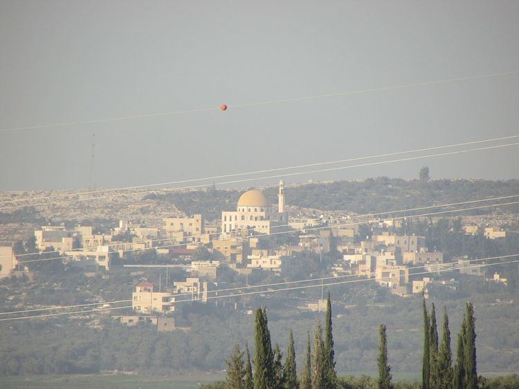
Beit Sira (Arabic: بيت سيرا) is a Palestinian village in the central West Bank, located 22 kilometers west of Ramallah and is a part of the Ramallah and al-Bireh Governorate. The village is situated along the Green Line. During the 1948 Arab-Israeli War, around 4,000 dunams of its land became a part of the "No-Man's Land" strip between the north-central West Bank and Israel. Currently Beit Sira's jurisdiction is 3,120 dunams, of which 441 dunams are built-up areas and the remainder is open spaces for future construction or agricultural land.
Contents
Map of Bayt Sira
History
In 1596 Beit Sira was a part of the nahiya ("subdistrict") of Ramla, which was under the administration of the liwa ("district") of Gaza, in the Ottoman Empire. In the tax records that year it had a population of 17 household who were all Muslims. They paid a fixed tax-rate of 25 % on agricultural products, including wheat, barley, summer crops, vineyards, fruit trees, goats and beehives, in addition to occasional revenues; a total of 4,500 Akçe. All of the revenue went to a Waqf.
In 1863 Victor Guérin noted Beit Sira as a considerable village on the summit of a rocky hill. A saint, revered under the name of Neby Sira, had a sanctuary there with his tomb. An Ottoman village list from about 1870 showed that Beit Sira had a population of 125, with a total of 39 houses, though the population count included men, only.
In 1883, the Palestine Exploration Fund's Survey of Western Palestine (SWP) described it: "A small village on a swell in the low hills. A main road passes through it. The water supply is artificial."
Mandatory Palestine era
In the 1922 census of Palestine conducted by the British Mandate authorities, Beit Sira had a population of 381 Muslims, increasing in the 1931 to 460 Muslims in 113 houses.
In 1945 the population was 540, all Muslims, while the total land area was 4,687 dunams, according to an official land and population survey. Of this, 205 dunams were plantations and irrigable land, 1,924 for cereals, while 23 dunams were classified as built-up areas.
1948-1967
In the wake of the 1948 Arab–Israeli War, and after the 1949 Armistice Agreements, Beit Sira came under Jordanian rule.
1967-present
After the Six-Day War in 1967, Beit Sira has been under Israeli occupation. According to the Palestinian Central Bureau of Statistics, Beit Sira had a population of 2,840 inhabitants in 2006. In the 2007 PCBS census, there were 2,749 people living in the town.