
Name meaning "House of Auwa" | ||
 | ||
Weather 13°C, Wind W at 14 km/h, 92% Humidity | ||
Beit Awwa (Arabic: بيت عوّا) is a Palestinian town in the Hebron Governorate in the southern West Bank, located 22 kilometers west of Hebron and 4 kilometers west of Dura. According to the Palestinian Central Bureau of Statistics, Beit Awwa had a population of 8,064 inhabitants in 2007.
Contents
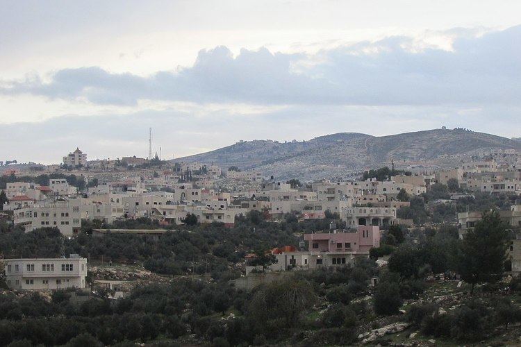
Map of Bayt Awa
History
In 1863, the French explorer Victor Guérin visited Beit Awwa. He described finding many artificial caves, some of which were large and had shaped domes, other smaller with square ceilings. Most entries were surrounded by piles of stones from old demolished buildings.
In 1875, the Palestine Exploration Fund's Survey of Western Palestine visited Beit Awwa. They described several ruins, each with a different name;
"Khurbet es Sueity, Khurbet el Mehami, Khurbet el Kusah are all sites with foundations and caves. El Kusr is an ancient watch-tower, with drystone walls in ruins; el Keniseh seems to be a ruined church; foundations, capitals, shafts, and lintels with the Maltese cross on them, remain showing a Byzantine building. There is also a fine font fitted for immersion. In the centre a square basin, 2 feet 3 inches side, 7 inches deep ; four steps lead down, 5 inches high, 9 inches broad ; the whole surrounded by four segmental recesses, the external form of the font being that of a rounded cross, the longest measurement either way being 5 feet, and the total height outside 2 feet 4 inches."
At the time of the 1931 census of Palestine the population of Beit Awwa was counted under Dura.
In November 1948, during the 1948 Arab-Israeli War soldiers from the 5th Brigade attacked Beit Awwa, Idhna and Kh. Sikka. At Beit Awwa, the attackers were driven off. In March 1949, the 4th Brigade attacked Beit Awwa and surrounding villages. Their attack orders were to "kill every [adult male] Arab" they encountered. All in all, they drove out 7,000 people eastward. With UN the villagers were eventually allowed back.
Its total land area is 470 dunams, 30% of it lands before 1948; due to the town's proximity Green Line hundreds of dunams are a part of modern-day Israel.
The population in the 1967 census conducted by the Israeli authorities was 1,468. After the 1967 six day war Beit Awwa was completely destroyed. Moshe Dayan claimed the destruction was carried out under the orders of an officer who wished to expel the residents, Brigadier General Uzi Narkis claimed the credit for the action.
The two prominent clans of Beit Awwa are Salam and Sewiti. The latter migrated to the area from ar-Ramtha, Jordan.