
Local time Wednesday 9:53 PM | Postal code 9686 Population 2,365 (2011) Area code 0597 | |
 | ||
Weather 5°C, Wind S at 11 km/h, 84% Humidity | ||
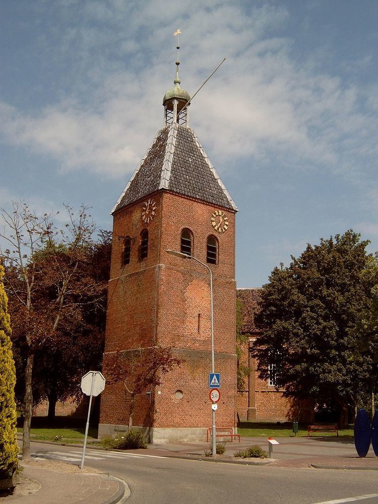
Beerta ( [ˈbeːrtaː]) is a village and former municipality with a population of 2,365 in the municipality of Oldambt in the province of Groningen in the Netherlands.
Contents
Map of Beerta, Netherlands
History
In 1982, Hanneke Jagersma of the Communist Party of the Netherlands became the mayor of Beerta. She was the first and only communist mayor in the Netherlands.
Beerta was a separate municipality until 1991, when it merged with Finsterwolde and Nieuweschans to form a new municipality that was initially also called Beerta, but was renamed Reiderland one year later. In 2010, Reiderland merged into the new municipality of Oldambt.
Geography
Beerta is located at 53°10′26″N 7°5′42″E. It is situated in the municipality of Oldambt and the (historical) region of Oldambt in the east of the province of Groningen in the northeast of the Netherlands.
To the southwest of Beerta is Winschoten, to the west is Blauwestad, to the north is Finsterwolde, to the east is Bad Nieuweschans, to the southeast is Bellingwolde, and to the south is Blijham. North of Beerta is the Dollart, which is part of the Wadden Sea, to the west is the Oldambtmeer, and to the southeast are the rivers Westerwoldse Aa and Pekel Aa.
The former municipality of Beerta included the settlements Drieborg, Nieuw-Beerta, Nieuwe Statenzijl, Oudezijl, Oude Statenzijl, Ulsda, and Winschoterzijl.
Demography
In 2011, the village had a population of 2,365.