
Population 2,105 (2012) Local time Sunday 2:57 AM | Postal code 9697 Area code 0597 | |
 | ||
Weather 6°C, Wind W at 24 km/h, 93% Humidity | ||
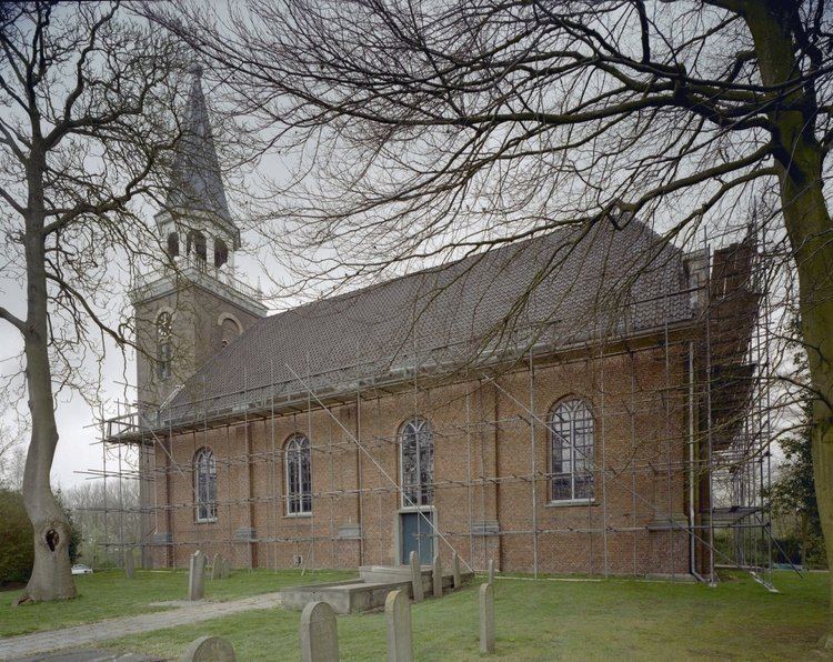
Blijham ( [blɛiˈɦɑm]) is a village with a population of 2,105 in the municipality of Bellingwedde in the province of Groningen in the Netherlands. The origins of the settlement date back to the 11th century. Until 1968, Blijham was part of the municipality of Wedde.
Contents
Map of Blijham, Netherlands
Etymology
In the name Blijham, which is pronounced as [blɛiˈɦɑm], the part -ham means 'homestead'.
History
The first settlement dates back to circa 1000 CE. It was built on top of a horseshoe-shaped sand ridge, on the road between the cities of Groningen and Münster. At the time, the water of the Dollart reached all the way down to the settlement.
The village of Blijham is formed out of the two population centres of Kerkhorn and Molenhorn, which are now completely connected.
Until 1968, Blijham was part of the municipality of Wedde. On 1 September 1968 the municipalities of Bellingwolde and Wedde were merged into the new municipality of Bellingwedde, of which Blijham then became a part.
Geography
Blijham is located at 53.1074°N 7.0765°E / 53.1074; 7.0765 in the west of the municipality Bellingwedde, in the east of the province of Groningen, in the northeast of the Netherlands. The village is situated between the rivers Pekel Aa and Westerwoldse Aa, and amid the village of Oude Pekela (to the west), the city of Winschoten (northwest), and the villages of Oudeschans (northeast), Bellingwolde (east), Vriescheloo (southeast), and Wedde (south).
Blijham is an administrative district (Dutch: wijk) and neighbourhood (Dutch: buurt). The district Blijham is one of three districts in the municipality of Bellingwedde, the other two being Bellingwolde and Oost. The district Blijham contains the neighbourhoods Blijham, Morige, Wedde, Wedderheide, Wedderveer, and some scattered houses.
Demographics
As of 2012, Blijham has a population of 2,105 and a population density of 890/km2 (2,300/sq mi).
Transportation
The provincial roads N367, N368, and N969 are connecting Blijham to the nearby settlements. The N367 goes north to Winschoten and west to Oude Pekela and Nieuwe Pekela. The N368 goes south to Wedde and Vlagtwedde. The N969 goes east to Bellingwolde and the German border.
The nearest railway is the Harlingen–Nieuweschans railway north of Blijham, with its nearest station Winschoten.
Education
There are two primary schools in the village, the public school De Wiekslag and the Christian school De Loopplank. The nearest secondary schools are in Bellingwolde, Oude Pekela, and Winschoten.