
 | ||
Beadnos Nunatak (Bulgarian: нунатак Беаднос, ‘Nunatak Beadnos’ \'nu-na-tak be-'ad-nos) is the partly ice-free hill of elevation 2180 m projecting from the ice cap west of north-central Sentinel Range in Ellsworth Mountains, Antarctica. It is named after the medieval fortress of Beadnos in Southern Bulgaria.
Contents
Location
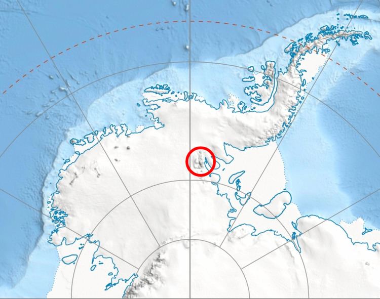
Beadnos Nunatak is located at 77°57′59″S 87°13′02″W, which is 6.64 km southeast of Helfert Nunatak, 20.78 km west-southwest of Mursalitsa Peak, 29 km west of Mount Dalrymple and 9 km northwest of Kovil Nunatak. US mapping in 1961.
Maps
References
Beadnos Nunatak Wikipedia(Text) CC BY-SA