
 | ||
Kovil Nunatak (Bulgarian: Ковилски нунатак, ‘Kovilski Nunatak’ \'ko-vil-ski 'nu-na-tak) is the rock-tipped hill of elevation 2020 m projecting from the ice cap west of north-central Sentinel Range in Ellsworth Mountains, Antarctica. It is named after the settlement of Kovil in Southern Bulgaria.
Contents
Location
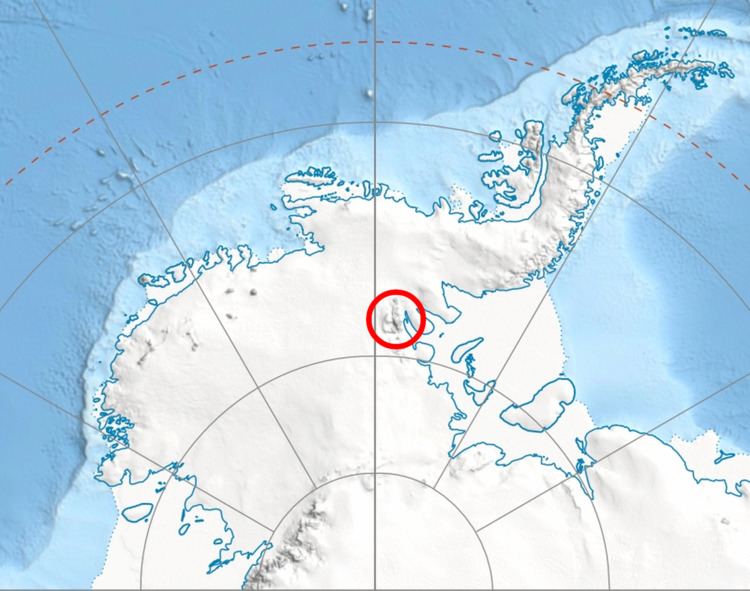
Kovil Nunatak is located at 78°02′20.3″S 87°02′59″W, which is 24.93 km west of Mount Goldthwait, 12.68 km northwest of Mount Hubley and 15.46 km southeast of Helfert Nunatak. US mapping in 1961.
Maps
References
Kovil Nunatak Wikipedia(Text) CC BY-SA