
 | ||
Mursalitsa Peak (Bulgarian: връх Мурсалица, ‘Vrah Mursalitsa’ \'vr&h mur-'sa-li-tsa) is the mostly ice-covered peak on the west side of northern Sentinel Range in Ellsworth Mountains, Antarctica rising to 2400 m on the side ridge extending from Mount Sharp on the main crest of the range. It is named after Mursalitsa Ridge in the Rhodope Mountains, Bulgaria.
Contents
Map of Mursalitsa Peak, Antarctica
Location
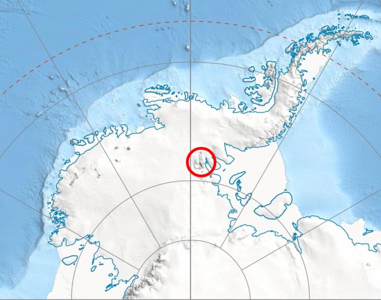
Mursalitsa Peak is located at 77°55′16″S 86°21′10″W, which is 5.8 km southwest of Mount Barden, 7.24 km west of Mount Sharp, 11.73 km north of Brocks Peak and 24.7 km east of Helfert Nunatak. US mapping in 1961.
Maps
References
Mursalitsa Peak Wikipedia(Text) CC BY-SA