
Phone +49 8552 96000 | Established October 7, 1970 | |
 | ||
Location Webseiten des NationalparksFreyunger Straße 294481 Grafenau Area 24,217 ha (93.50 sq mi) Hours Open today · Open 24 hoursTuesdayOpen 24 hoursWednesdayOpen 24 hoursThursdayOpen 24 hoursFridayOpen 24 hoursSaturdayOpen 24 hoursSundayOpen 24 hoursMondayOpen 24 hours Similar Profiles | ||
Beautiful bavarian forest national park
The Bavarian Forest National Park (German: Nationalpark Bayerischer Wald) is a national park in the Eastern Bavarian Forest immediately on Germany's border with the Czech Republic. It was founded on 7 October 1970 as the first national park in Germany. Since its expansion on 1 August 1997 it has covered an area of 24,250 hectares. Together with the neighbouring Czech Bohemian Forest the Bavarian Forest forms the largest contiguous area of forest in Central Europe.
Contents
Bavorsk n rodn park bavarian forest national park
DescriptionEdit
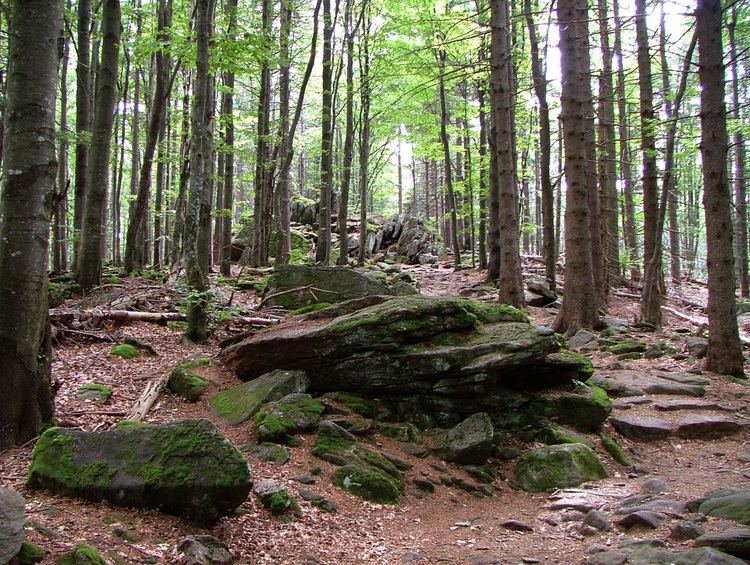
Especially protected are the Norway spruce–dominated highland forests, mixed mountain forests of European silver fir, European beech and spruce trees and water meadow spruce woods in the valleys. Although a few remnants of ancient forest remain, the National Park area is still heavily influenced by the former forestry industry. Since nature is now left to take its course again, there is no human intervention when there are catastrophic events such as large scale bark beetle infestation. This resulted in the 1990s in the death of a portion of the high elevation forests and triggered controversial discussions amongst the residents of the National Park, which highlighted differing attitudes to the wilderness. As the result of a compromise, bark beetle is now fought in the buffer area.
The most important peaks in the National Park are the Großer Falkenstein (1,305 m), the Lusen (1,373 m) and the Großer Rachel (1,453 m ). In addition to the forests, there are also ecologically valuable raised bogs (Hochmoore) with bog lakes such as the Latschensee and former high meadows, the so-called Schachten, which spread even further on the Czech side of the border in the Bohemian Forest.
With over 700,000 visitors per year, the National Park is an important economic factor in the economically underdeveloped region of the Bavarian Forest.
GeographyEdit
The National Park runs along the main ridge of the Bavarian Forest from the Großer Falkenstein (1,305 m) in the northwest past the Großer Rachel (1,453 m) to the Lusen (1,373 m) in the southeast.
According to the classification of the major natural regions of Germany it is part of the Rear Bavarian Forest (Hinterer Bayerischer Wald) in the Upper Palatine-Bavarian Forest.
On the other side of the border in the Czech Republic, the Bavarian Forest National Park is bounded by the Šumava National Park which is 68,064 hectares in area.
The national park is located in the eastern part of Bavaria in the counties of Regen and Freyung-Grafenau along the border with the Czech Republic and covers an area of 24,250 hectares of forest covering the low mountain range of the Bavarian Forest. It borders on the municipalities of (from north to south): Bayerisch Eisenstein, Zwiesel, Lindberg, Frauenau, Spiegelau, Sankt Oswald-Riedlhütte, Neuschönau, Hohenau and Mauth. Parts of the National Park are located on the territory of the respective communities and parts also lie in unparished areas.
There are many enclaves in the national park, especially around the edges:
In addition, there are several other enclaves that comprise just one or a few small plots. These numerous enclaves, especially in the Altgebiet make the border very long there, and the buffer zone, where bark beetle control is allowed, extends far into the interior of the park (see below for more details).