
Admin. region Niederbayern Time zone CET/CEST (UTC+1/+2) Population 1,049 (31 Dec 2008) | Postal codes 94252 Local time Tuesday 5:41 PM | |
 | ||
Weather 1°C, Wind SE at 16 km/h, 100% Humidity Points of interest Bohemian Forest, Großer Arber, Großer Arbersee, Skischule im Arberland, NaturparkWelten | ||
Bayerisch Eisenstein (Czech: Bavorská Železná ruda) is a village and a municipality in the Regen district, in Bavaria, Germany.
Contents
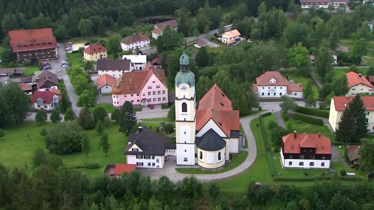
Map of Bayerisch Eisenstein, Germany
Geography
Bayerisch Eisenstein is part of Bayerischer Wald and borders the first German national park established in 1968. The town is both winter and summer resort. In the summer walking in the forest and mountains is popular. In winter, winter sports prevail concentrating on the Gross Arber mountain.
It is one of a trio of connected places in the area. The other two are Železná Ruda (German: Böhmisch Eisenstein or Markt Eisenstein) and Špičák (German: Dorf Eisenstein), both in Czech Republic. Železná Ruda lies 2 kilometres northeast from Bayerisch Eisenstein. The town's railway station is split by the border. In August 2006 Bayerisch Eisenstein and Železná Ruda signed a twinning agreement
Transportation
Today, trains run to both halves of the station from the relative countries. The local German train service, the Waldbahn, also continues across the border to Spicak in the Czech Republic.
Bayerisch Eisenstein lies on the Bavarian Forest railway from Plattling to Pilsen.