
Highest point Lusen | ||
 | ||
Mountains Similar | ||
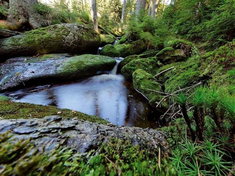
The Bavarian Forest (German: Bayerischer Wald ) is a wooded low-mountain region in Bavaria, Germany. It extends along the Czech border and is continued on the Czech side by the Šumava (Bohemian Forest). Geographically the Bavarian Forest and Bohemian Forest are sections of the same mountain range. A part of the Bavarian Forest belongs to the Bavarian Forest National Park (Nationalpark Bayerischer Wald) (240 km²), established in 1970 as the first national park in Germany. Another 3,008 km² belong to the Bavarian Forest Nature Park (Naturpark Bayerischer Wald), established 1967, and 1738 km² to the Eastern Bavarian Forest Nature Park (Naturpark Oberer Bayerischer Wald), established 1965. The Bavarian Forest is a remnant of the Hercynian Forest that stretched across southern Germania in Roman times. It is the largest protected forest area in central Europe.
Contents
Map of Bavarian Forest, 94354 Haselbach, Germany
The highest mountain in the region is the Großer Arber ("Great Arber", 1,456 m). The main river is the Regen, which is formed by the conjunction of White Regen and Black Regen and leaves the mountains towards the city of Regensburg.
Places of interestEdit
Amongst the places of interest in the Bavarian Forest are:
MountainsEdit
The following is a list of the mountains in the Bavarian Forest, sorted alphabetically with heights given in metres (m) above sea level (NN):