
Area 34.01 km² | Region Occitanie Population (2010) 3,041 Local time Thursday 7:35 AM | |
 | ||
Canton Baraqueville-Sauveterre Intercommunality Agglomération du Grand Rodez Weather 6°C, Wind W at 14 km/h, 100% Humidity | ||
Baraqueville (La Barraca de Fraisse in Occitan) is a French commune in the Aveyron department in the Occitanie region of southern France.
Contents
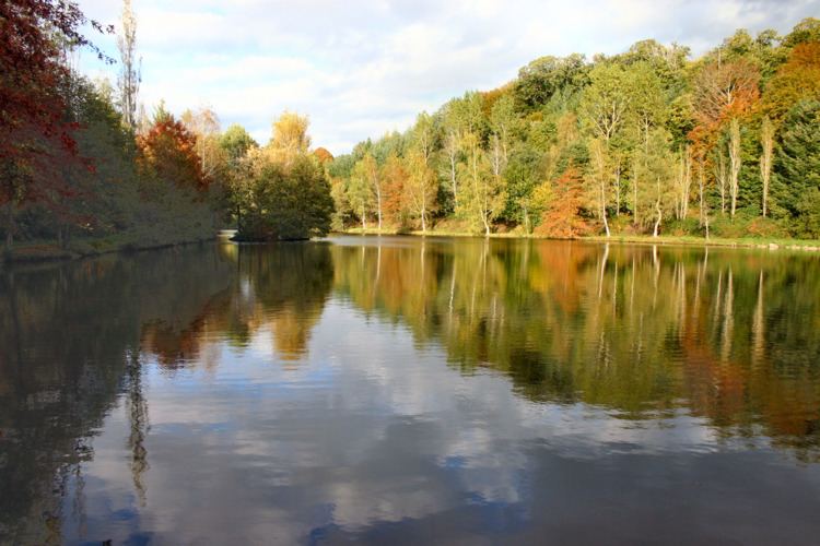
- Map of 12160 Baraqueville France
- Geography
- History
- Antiquity
- Modern Era
- Contemporary Era
- Administration
- Demography
- Education
- Cultural events and festivities
- Notable people linked to the commune
- References
Map of 12160 Baraqueville, France
The inhabitants of the commune are known as Baraquevillois or Baraquevilloises.
Geography
Baraqueville is located some 10 km south-west of Rodez and 30 km east of Villefranche-de-Rouergue. Access to the commune is by Route nationale N88 from Rodez in the north-east which passes through the commune and the town then continues south to Albi. The D57 goes north from the town, changing to the D991 at the communal border, and continues west to Rieupeyroux. The D546 branches off the D57 and goes west to Boussac. The D38 branches off the N88 and goes south-west to join the D997 south-west of the commune. The D507 goes south from the town to Camboulazet. The D624 branches off the N88 in the north-east of the commune and goes north-east to Luc-la-Primaube. There is also a railway passing through the commune from south to north-east with a station at La Cazalets. Apart from the town there are the hamlets of:
Apart from the significant sized urban area the commune is almost all farmland.
The Aveyron river forms the northern border of the commune as it flows west to eventually join the Tarn near Meauzac. The Plan d'Eau du Val de Lenne (Val de Lenne Lake) just north of the town is the source for several streams including the Lenne which flows north-east forming part of the north-western border and continues north to join the Aveyron. The Ruisseau de Congorbes flows south forming the south-western border of the commune and continuing south to join the Viaur north-west of Fonbonne. The Ruisseau de Couffignal rises in the west of the commune and flows west to join the Lézert south-west of Boussac. The Trégou flows from the south-east and forms the north-eastern border of the commune as it flows north-west to join the Aveyron. The Ruisseau des Etangs rises in the east of the commune and flows north-east to join the Trégou. The Ruisseau de Malrieu rises east of the town and flows south, forming the south-eastern border of the commune as it continues to join the Ruisseau de la Nauze south-east of Camboulazet.
History
The commune of Baraqueville was created on 1 January 1973 from the merger of the former communes of Carcenac-Peyralès and Vors.
Antiquity
From the Roman period the Fountain of Vors (709 m above sea level) supplied Rodez with water by a water supply system 30 km long which is at first underground then by aqueduct. In a direct line the distance is only 12 km. There was also a Roman road following the Ségala ridge.
Modern Era
From the middle of the 18th century the Carcenac-Peyralès staging post located on Royal Road No. 5 linking Toulouse to Lyon was retained, This was not a busy road and probably had a strategic interest. Carcenac-Peyralès was also on Royal Road No. 3 which linked Montauban to Montpellier via Millau.
Contemporary Era
Administration
List of Successive Mayors
(Not all data is known)
Demography
In 2010 the commune had 3,041 inhabitants. The evolution of the number of inhabitants is known from the population censuses conducted in the commune since 1793. From the 21st century, a census of communes with fewer than 10,000 inhabitants is held every five years, unlike larger communes that have a sample survey every year.
Sources : Ldh/EHESS/Cassini until 1962, INSEE database from 1968 (population without double counting and municipal population from 2006)
N.B. This table includes the populations of the absorbed communes in 1832 and 1972.