Onder Afdeeling (Dutch rule) ca.1900 Area 11,833 km² Area code 0711 | Capital Pangkalan Balai Kabupaten (Regency) since 2002 | |
 | ||
Banyuasin regency tourism south sumatra indonesia
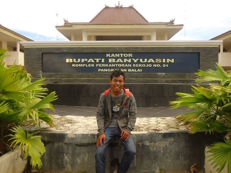
Banyuasin Regency is a regency of South Sumatra Province, Indonesia. It takes its name from the main river which stream that area, Banyuasin River. Pangkalan Balai is the capital of this regency. The regency borders Musi Banyuasin Regency, Jambi province and Bangka Strait to the north, Bangka Strait to the east, Ogan Komering Ilir Regency, Muara Enim Regency, and Palembang to the south, and Musi Banyuasin Regency to the west.
Contents
- Banyuasin regency tourism south sumatra indonesia
- Map of Banyu Asin Regency South Sumatra Indonesia
- Administrative districts
- References
Map of Banyu Asin Regency, South Sumatra, Indonesia
Banyuasin Regency is a regency of South Sumatra, Indonesia. It has an area of 12,142.73 km² and had a population of 749,107 at the 2010 Census; the latest official estimate (as at January 2014) is 805,096. The capital lies at Pangkalan Balai. Much of the regency is coastal lowland.
Administrative districts
Banyuasin Regency is subdivided into fifteen districts (kecamatan), listed below with their populations at the 2010 Census:
