
Time zone WIB (UTC+7) | Capital Muara Enim Area 8,588 km² Population 769,211 (2014) | |
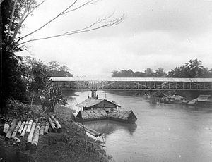 | ||
Muara enim regency tourism south sumatra
Muara Enim Regency is a regency of South Sumatra Province, Indonesia. The capital is the town of Muara Enim. The city of Prabumulih is an enclave within the regency but is administratively separate. The regency until 2012 covered an area of 8,587.94 km² and had a population of 717,717 at the 2010 Census; the latest official estimate of this area (as at January 2014) is 769,211; however in December 2012 part of the Muara Enim Regency was split off to form the new Penukal Abab Lematang Ilir Regency.
Contents
- Muara enim regency tourism south sumatra
- Map of Muara Enim Regency South Sumatra Indonesia
- Location
- Administrative Districts
- References
Map of Muara Enim Regency, South Sumatra, Indonesia
Mining and agricultural activities are abundant in the regency and it is also a producer of oil. Notable crops include rice and coconuts.
Location
Bumi Serasan Sekundang is located in the heart of South Sumatra Province. The boundaries are:
Administrative Districts
Muara Enim Regency was divided as at 2010 into twenty-two districts (kecamatan):
Five of these districts (indicated by # above) were separated out in 2013 to form the new Penukal Abab Lematang Ilir Regency.