
 | ||
Bansur is a Town and tehsil in Alwar district in Rajasthan, India. Bansur Tehsil's headquarters is Bansur town. It belongs to Jaipur Division. It is located 46 km west of the district headquarters Alwar and 117 km south of the state capital Jaipur.
Contents
- Map of Bansur Rajasthan 301402
- It is at an elevation of 289 m It is on the border of Alwar District and Jaipur District
- Language
- Leaders
- Transport
- Bansur Fort
- Banks
- Schools Book Stalls
- Famous Sweets
- medicals
- IT Gyan Kendra
- References
Map of Bansur, Rajasthan 301402
Bansur Tehsil is bounded by Kotputli Tehsil to the west, Behror Tehsil to the north, Umren Tehsil to the east and Alwar Tehsil to the south. Alwar, Neem-Ka-Thana, Narnaul, and Bawal are the nearest cities to Bansur. Welcome to My village to- Dinesh , Parvinder, Inderjeet @ Mothuka village .
Village Sarpanch Mrs HANSA Devi
It is at an elevation of 289 m. It is on the border of Alwar District and Jaipur District.
Alwar, Sariska, Narnaul, Samode (Samode Bagh) and Nuh are nearby tourist destinations. Mahanpur village also
Language
Rajasthani Hindi and Hindi is the local language resembling Language of sekhawati region.Often in practice people use local rajasthani language more than Hindi.Many of the Haryanvi words are also widly used.
Leaders
MLA of Bansur is Mrs. Shakuntala Rawat, preceding Mr.Rohitashav Sharma. Sarpanch of Kasba Bansur is Mr. Motilal Meena. Elected pradhans is Mrs. Neelam Purohit
Transport
The nearest major railway station is in Alwar, 52 km away. The second nearest major railway station is in Khairthal 37 km away. Bansur is well connected to Delhi and Jaipur via Kotputli by NH -8. Kotputli is 16 km away of Bansur. Roadways bus service for Kotputli is available from 6:00 am to 8:15 pm.The entry of heavey vechiles is restricted from 6 am to 8 pm in the Town.
Bansur Fort
The fort of Bansur is situated in the middle of the city.It can be seen from almost any place in the city.Anyone can visit the fort anytime without any fee.An amazing and outstanding view of the city can be seen from the fort.It has many "Burz". A bawadi can also be seen in the middle of the fort having many stairs to go down,not in use now.It resembles some of the finest water conservation models used by our ancestors in past,collecting all the water from the fort and collecting it in the Bawadi for future use.The fort has many Canon stands.Walls of the fort are almost 6 to 7 feet wide.Earlier the fort was unpainted and was coloured pink later.
Banks
The Alwar central cooperative bank
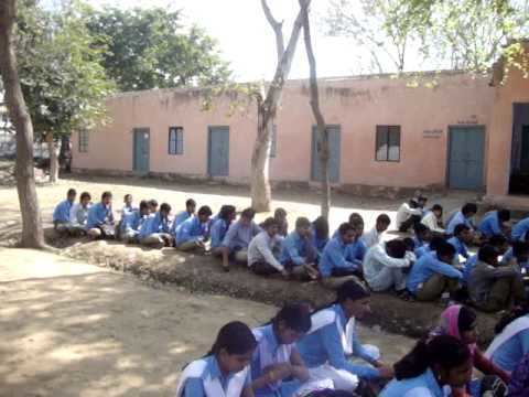
Schools & Book Stalls
Famous Sweets
medicals
IT Gyan Kendra
== Gyarsh Mata Mandir, Baharam Ka Bas (Rampur)