
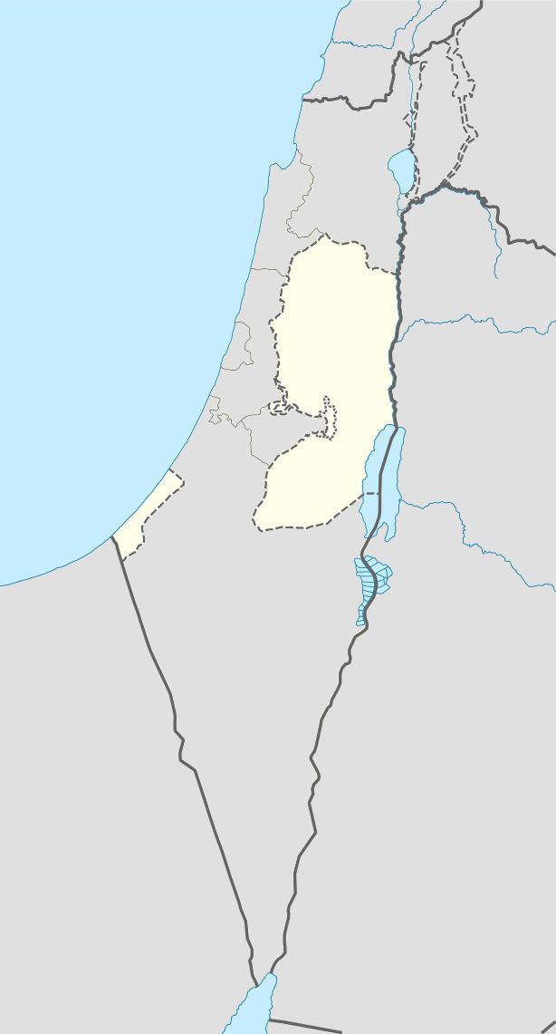
Palestine grid 165/161, 166/161 Name meaning "Eastern Bani Zeid" | ||
 | ||
Weather 11°C, Wind SE at 8 km/h, 87% Humidity | ||
Bani Zeid al-Sharqiya (Arabic: بني زيد الشرقية) is a Palestinian town in the northern West Bank, located north of Ramallah in the Ramallah and al-Bireh Governorate. It was formed as a result of a merger of the villages of 'Arura, Mazari al-Nubani, and Abwein, although the latter separated from the municipality. Bani Zeid al-Sharqiya is 3 kilometers (1.9 mi) north of Ajjul and other nearby localities include Deir as-Sudan to the southeast, Kafr Ein to the east, and Abwein to the southwest.
Contents
Map of Arura
History
Both Arura and Mazari al-Nubani were part of the Bani Zeid subdistrict in the Sanjak of Jerusalem. The two villages produced a combined 99 qintars of olive oil, the chief agricultural product of the Bani Zeid, and adult males in were taxed a combined 649 akçe.
'Arura
'Arura (Arabic: عاروره, ‘Arūrā) 32°02′30″N 35°10′18″E (Palestine grid 166/160) is situated 500 meters (1,600 ft) above sea level.
History
In 1596 'Arura appeared in the Ottoman tax registers as being in the Nahiya of Quds of the Liwa of Quds. It had a population of 62 households, all Muslim, and paid taxes on wheat, barley, olive trees, vineyards and fruit trees, goats and/or beehives. The French explorer Victor Guérin visited the village in the late 19th century, and found it to have about 350-400 inhabitants. He also observed fragments of columns and other indications of an ancient town. There were also threshing-floors which appeared ancient. An official Ottoman village list of about 1870 showed that Arura had a total of 91 houses and a population of 300, though the population count included men only. In 1882, the Palestine Exploration Fund's Survey of Western Palestine described the village, called Arara, as being a small, on high ground, and remarkable for having five sacred places on the west side of the village.
In 1945, its total land area was 10,978 dunams, of which was 26 were built-up areas and 2,550 used for olive groves.
Near, and within the village are three shrines dedicated to Sheikh Radwan, Sheikh Ahmad, and al-Khidr. Al-Khidr's shrine, in the center of the village, has no relation to al-Khidr, and his simply dedicated to a holy man with the same name. Al-Khidr or Saint George is revered throughout Palestine in several towns and villages. Sheikh Ahmad's shrine is to the west of 'Arura.
The Shrine of Sheikh Radwan bin 'Ulayl al-Arsufi, built during the Ayyubid rule of interior Palestine, is located to the southwest of the village situated on a hill roughly 600 meters (2,000 ft) above sea level. Not much is known about Radwan, except that his family was from Arsuf and he was an important man in the area that died in Egypt and was transferred to 'Arura for his burial. Muslim scholars suggested that Sheikh Radwan was from the 'Ulayl family. An Arabic inscription written in typical rural Ayyubid style, on the shrine's surface reads that he was transferred to "blessed Syria" (in early Islamic times, Palestine was a province of Syria). A mosque was constructed adjacent to the shrine.
In a census conducted in 1922 by the British Mandate authorities, 'Arura had a population of 426, all Muslim. By the time of the 1931 census, 'Arura had 131 occupied houses and a population of 566, all Muslim. There were 660 residents in 1945, according to Sami Hadawi's land and population survey. All were Muslims. There was a sharp decrease in the population from 1961 to 1982, caused by nearly half of 'Arura's inhabitants fleeing the village in the 1967 Six-Day War. In 1997, 'Arura had a population of 2,087, of which 30 residents (1.4%) were Palestinian refugees. The gender make-up was 1,069 males and 1,018 females. According to the Palestinian Central Bureau of Statistics, it had a population of approximately 2,967 in mid-year 2006.
Mazari al-Nubani
Mazari al-Nubani (Arabic: مزارع النوباني) 32°02′58″N 35°09′57″E, (Palestine grid 165/161) is situated along the same height as 'Arura.
History
Mazari al-Nubani was by earlier scholars (Röhricht, Prawer and Benvenisti) identified with the Crusader village called Mezera, but newer scholars (Finkelstein et al) disputes this. In 1596 the village, under the name of Mazra'at al-'Abbas, appeared in the Ottoman tax registers as being in the Nahiya of Quds of the Liwa of Quds. It had a population of 60 households and 21 bachelors, all Muslim. Taxes were paid on wheat, barley, olive trees, vineyards and fruit trees, goats and/or beehives. When Guérin passed by the village in the late 19th century, he estimated it had a population of about 600. In 1882, the Palestine Exploration Fund's Survey of Western Palestine described the village, then called Mezrah, as being of moderate size, on high ground.
In a census conducted in 1922 by the British Mandate authorities, Mazarie' al-Nubani had a population of 611, all Muslim. By the time of the 1931 census, Mazari en-Nubani had 193 occupied houses and a population of 864, still all Muslim.
There were 1,090 residents in 1945, according to Sami Hadawi's land and population survey. All were Muslims. According to the Palestinian Central Bureau of Statistics (PCBS), the town had a population of approximately 2,510 inhabitants in mid-year 2006.
Local government
The municipality was formed after a merger of 'Arura, Mazari al-Nubani, and Abwein prior to the Palestinian municipal elections in 2005. During the elections, Fatima Taher Sihweil from Abwein won and the municipality fell apart with only 'Arura and Mazari al-Nubani remaining.