
Area 217.4 km² | Time zone BST (UTC+6) Population 358,371 (2010) | |
 | ||
Homna bancharampur over bridge
Bancharampur (Bengali: বাঞ্ছারামপুর) is an Upazila (administrative region similar to a county) in the Brahmanbaria District in the Division of Chittagong, Bangladesh.
Contents
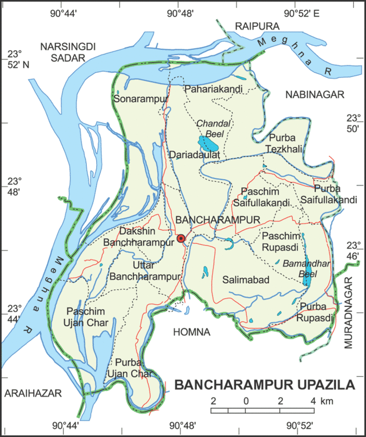
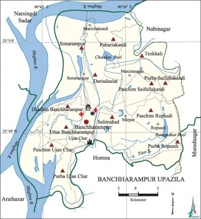
Geography
Bancharampur is located at 23.777823°N 90.808388°E / 23.777823; 90.808388. It covers an area of 219.38 square kilometres (84.70 sq mi).
Demographics
According to the 2010 Bangladesh census, Bancharampur had a population of 358,371 in 43,987 households. 120,882 were 18 years of age and above. Bancharampur had an average literacy rate of 50.9% for citizens aged 7 and older at the time, compared to the national average of 32.4%
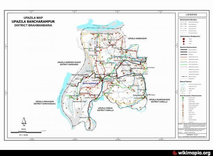
Administration
Bancharampur has 13 Unions/Wards, 78 Mouzas/Mahallas, and 129 villages.
References
Bancharampur Upazila Wikipedia(Text) CC BY-SA