
Highest point South Rock8 meters | Coordinates . Population 0 | |
 | ||
Length 8 km (5 mi) (low tide only) Width 5 km (3 mi) (low tide only) | ||
French overseas territories east africa banc du geyser
Banc du Geyser (also Banc du Geysir) is a mostly submerged reef in the Mozambique Channel's northeastern part, 125 km (78 mi) northeast from Mayotte, 112 km (70 mi) southwest of the Glorioso Islands, and 200 km (124 mi) off the northwestern coast of Madagascar.
Contents
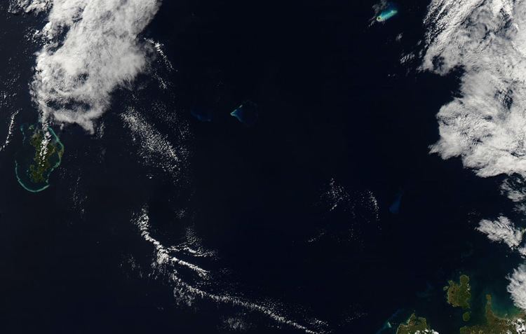
Map of Banc du Geyser
The Banc is a dangerous oval-shaped reef 8 km (5 mi) long and 5 km (3 mi) wide that becomes exposed only at low tides, with the exception of some rock formations in the southern part of the reef. The rocks are generally 1.5 to 3 m (4 ft 11.1 in to 9 ft 10.1 in) in height; the largest is South Rock, with a height of 8 m (26 ft), similar to a boat under sail. In the eastern part of the reef there are some sandy cays, 1 to 3 m (3 ft 3 in to 9 ft 10 in) in height covered with grass and small bushes. The entrance into the central lagoon is possible from a south-southeastern direction. There is an abundance of sea birds, and the cays are covered in tons of guano.
The Geysir Reef was first known by Arab sailors around the year 700, and was shown on some navigation-charts dated around 800. Around 1650 the reef was shown on Spanish maps as Arecife de Santo Antonio. The current name was given on 23 December 1678, when the British vessel Geysir ran on the reef.
France and the Comoros claim the Banc du Geyser as part of their exclusive economic zone (EEZ). The reef is also claimed Madagascar. From the French point of view, it is part of the EEZ of Glorioso Islands, one of their Scattered Islands in the Indian Ocean. Madagascar announced its annexation in 1976, presumably because of the possibility of oil fields in the vicinity but the Banc du Geyser is controlled in fact by the French forces armées de la zone sud de l'océan Indien. In 2012, France included the reef in the parc naturel marin des Glorieuses, a marine protected area, to preserve the endangered flora and fauna of Glorioso Islands.
About 20 km (12 mi) southwest of Geysir is Zélée Bank, a deep submarine feature.