
Max. width 419 km (260 mi) | Max. length 1,600 km (990 mi) Average depth 3,292 m (10,801 ft) Islands Grande-Terre | |
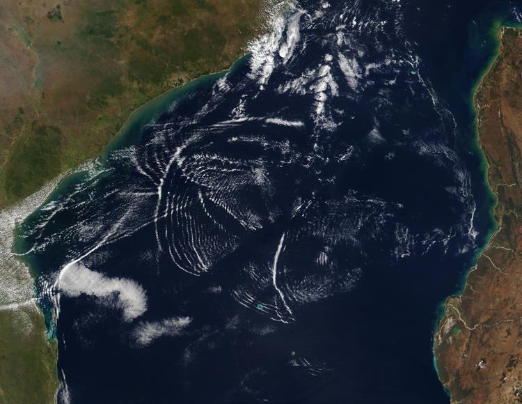 | ||
The Mozambique Channel (French: Canal du Mozambique, Malagasy: Lakandranon'i Mozambika, Portuguese: Canal de Moçambique) is an arm of the Indian Ocean located between Madagascar and Mozambique. The channel is about 1,600 km (1,000 mi) long and 419 km (260 mi) across at its narrowest point, and reaches a depth of 3,292 m (10,800 ft) about 230 km (143 mi) off the coast of Mozambique. A warm current, the Mozambique Current, flows in a southward direction in the channel, leading into the Agulhas Current off the east coast of South Africa.
Contents
Map of Mozambique Channel
Extent
The International Hydrographic Organization (IHO) defines the limits of the Mozambique Channel as follows:
Despite being defined as the South African coast by the IHO, the western limit of the channel is more correctly defined as the coast of Southern Africa or, more specifically, of Mozambique.
Comoros
France
Mozambique
Primeiras and Segundas Archipelago
History
The Mozambique Channel was a World War II clashpoint during the Battle of Madagascar.