
Topo map USGS Hazelwood Range Appalachian Mountains | Elevation 1,036 m | |
 | ||
Traversed by US 23 / US 74Blue Ridge Parkway Similar Blue Ridge Mountains, Waterrock Knob, Plott Balsams, Richland Balsam, Soco Gap | ||
Blue ridge southern climbing balsam gap
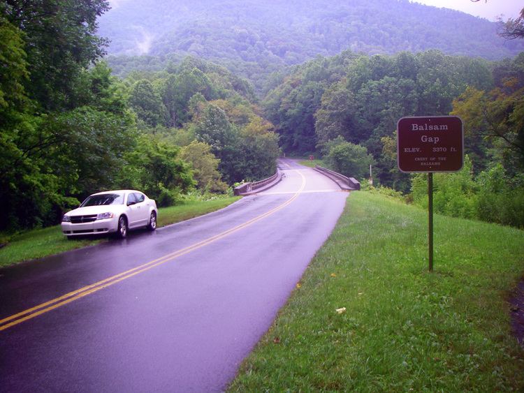
Balsam Gap (el. 3,316 ft (1,011 m)) is a mountain pass between the Plott Balsam Range to the northwest and the Great Balsam Mountains to the southeast on the county line dividing Haywood and Jackson counties in the U.S. state of North Carolina.
Contents
- Blue ridge southern climbing balsam gap
- Map of Balsam Gap Waynesville NC 28786 USA
- Waterrock knob to balsam gap descent 03 18 2016
- References
Map of Balsam Gap, Waynesville, NC 28786, USA
The gap allows both the Great Smoky Mountains Expressway and the former Murphy Branch of the Southern Railway, now owned by Blue Ridge Southern Railroad, to cross between the two counties running east-west. The Blue Ridge Parkway also runs through the gap in a north-south direction crossing both the expressway and railway branch.
The gap is named for the Great Balsam Mountains in which it lies. The small, unincorporated communities of Balsam in Jackson County and Saunook in Haywood County are also located close by.