
Established 1878 State electorate(s) Goyder Postal code 5573 | Postcode(s) 5573 Founded 1878 Local time Wednesday 9:18 AM | |
 | ||
Population 312 (shared with other localities in the "State Suburb of Balgowan") (2011 census) Weather 29°C, Wind N at 13 km/h, 30% Humidity | ||
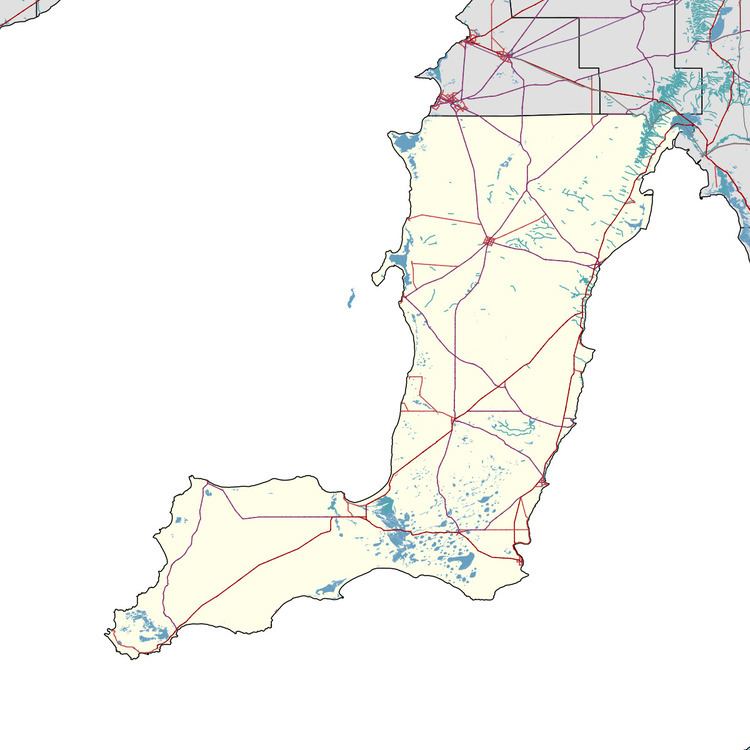
Balgowan is a small coastal town on the west coast of South Australia's Yorke Peninsula. It is located approximately 20 kilometres (12 miles) west of Maitland. Like other towns on popular with tourists on Yorke Peninsula, it has a large number of shacks, holiday houses, caravan facilities and a boat ramp. The population generally increases during peak holiday periods.
Map of Balgowan SA 5573, Australia
The government town of Balgowan was surveyed in September 1878 and was named after a town located in Perthshire, Scotland. Boundaries were created for the locality also known as Balgowan in May 1999 and which include the former government town and the Tiparra Shack Site.
Balgowan's only shop is a general store. The store closed in August 2011 and reopened late 2013.
Balgowan is located within the federal division of Grey, the state electoral district of Goyder and the local government area of the Yorke Peninsula Council.