
Country India Area 300.9 km² Area code 03254 | Time zone IST (UTC+5.30) Population 137,950 (2011) | |
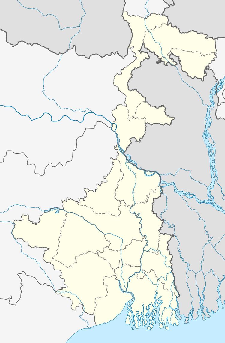 | ||
Balarampur is a community development block that forms an administrative division in Purulia Sadar West subdivision of Purulia district in the Indian state of West Bengal.
Contents
Background
The Jaina Bhagavati-Sutra of 5th century AD mentions that Purulia was one of the sixteen mahajanapadas and was a part of the kingdom known as Vajra-bhumi in ancient times. In 1833, Manbhum district was carved out of Jungle Mahals district, with headquarters at Manbazar. In 1838, the headquarters was transferred to Purulia. In 1956, Manbhum district was partitioned between Bihar and West Bengal under the States Reorganization Act and the Bihar and West Bengal (Transfer of Territories) Act 1956.
Red corridor
106 districts spanning 10 states across India, described as being part of the Left Wing Extremism activities, constitutes the Red corridor. In West Bengal the districts of Paschim Medinipur, Bankura, Purulia and Birbhum are part of the Red corridor. However, as of July 2016, there had been no reported incidents of Maoist related activities from these districts for the previous 4 years.
The CPI (Maoist) extremism affected CD Blocks in Purulia district were: Jhalda I, Jhalda II, Arsha, Baghmundi, Balarampur, Barabazar, Manbazar II and Bandwan. Certain reports also included Manbazar I and Joypur CD Blocks and some times indicted the whole of Purulia district.
The Lalgarh movement, which started attracting attention after the failed assassination attempt on Buddhadeb Bhattacharjee, then chief minister of West Bengal, in the Salboni area of Paschim Medinipur district, on 2 November 2008 and the police action that followed, had also spread over to these areas. The movement was not just a political struggle but an armed struggle that concurrently took the look of a social struggle. A large number of CPI (M) activists were killed. Although the epi-centre of the movement was Lalgarh, it was spread across 19 police stations in three adjoining districts – Paschim Medinipur, Bankura and Purulia, all thickly forested and near the border with Jharkhand. The deployment of CRPF and other forces started on 11 June 2009. The movement came to an end after the 2011 state assembly elections and change of government in West Bengal. The death of Kishenji, the Maoist commander, on 24 November 2011 was the last major landmark.
Geography
Tentlo, a constituent panchayat of Balarampur block, is located at 23°05′48″N 86°13′05″E.
Balarampur CD Block is located in the southern part of the district. The Bagmundi-Bandwan uplands is an area that has descended from the Ranchi Plateau. In the Baghmundi and Balarampur areas, the Ajodhya Hills form the main highlands, forming the drainage divide between the basins of the Subrnarekha and the Kangsabati. The elevation ranges from 475 to 700 m.
Balarampur CD Block is bounded by Arsha CD Block on the north, Barabazar CD Block on the east and on the south, Nimdih CD Block, in Seraikela Kharsawan district of Jharkhand and Baghmundi CD Block on the west.
It is located 35 km from Purulia, the district headquarters.
Balarampur CD Block has an area of 300.88 km2. It has 1 panchayat samity, 7 gram panchayats, 92 gram sansads (village councils), 90 mouzas, 89 inhabited villages and 1 census town. Balarampur police station serves this block. Headquarters of this CD Block is at Baghadih.
Gram panchayats of Balarampur block/panchayat samiti are: Balarampur, Bara-Urma, Bela, Darda, Genrua, Ghatbera-Kerowa and Tentlo.
Population
As per the 2011 Census of India Balarampur CD Block had a total population of 137,950, of which 113,519 were rural and 24,431 were urban. There were 70,995 (51%) males and 66,955 (49%) females. Population below 6 years was 20,118. Scheduled Castes numbered 16,427 (11.91%) and Scheduled Tribes numbered 43,738 (31.71%).
As per 2001 census, Balarampur block had a total population of 118,071, out of which 60,424 were males and 57,647 were females. Balarampur block registered a population growth of 14.27 per cent during the 1991-2001 decade. Decadal growth for Purulia district was 13.96 per cent. Decadal growth in West Bengal was 17.84 per cent.
Census Towns in Balarampur CD Block are (2011 census figures in brackets): Balarampur (24,431).
Large villages (with 4,000+ population) in Balarampur CD Block are (2011 census figures in brackets): Genrua (6,454).
Other villages in Balarampur CD Block are (2011 census figures in brackets): Bela (3,436), Darda (2,619), Tentlo (2,924), Ghatbera (1,858) and Keraya (2,140).
Literacy
As per the 2011 census the total number of literates in Balarampur CD Block was 71,176 (60.40% of the population over 6 years) out of which males numbered 44,950 (74.18% of the male population over 6 years) and females numbered 26,226 (45.82%) of the female population over 6 years). The gender disparity (the difference between female and male literacy rates) was 28.35%.
See also – List of West Bengal districts ranked by literacy rate
Languages and religions
Bengali is the local language in these areas.
There is a tribal presence in many of the CD Blocks of the district. Santali was spoken by around 14% of the population of the earlier Manbhum district. Some people also speak Mundari or Kolarian languages such as Kurmali, Mundari and the languages of the Bhumij or Mahli.
In the 2011 census Hindus numbered 108,829 and formed 78.89% of the population in Balarampur CD Block. Muslims numbered 7,966 and formed 5.77% of the population. Christians numbered 648 and formed 0.47% of the population. Others numbered 20,507 and formed 14.87% of the population. Others include Addi Bassi, Marang Boro, Santal, Saranath, Sari Dharma, Sarna, Alchchi, Bidin, Sant, Saevdharm, Seran, Saran, Sarin, Kheria, and other religious communities.
Infrastructure
92 mouzas in Balarampur CD Block were electrified by 31 March 2014.
Agriculture
In 2013-14, persons engaged in agriculture in Balarampur CD Block could be classified as follows: bargadars 0.71%, patta (document) holders 17.62%, small farmers (possessing land between 1 and 2 hectares) 6.65%, marginal farmers (possessing land up to 1 hectare) 24.10% and agricultural labourers 50.92%.
In 2013-14, the total area irrigated in Balarampur CD Block was 7,591.73 hectares, out of which 3,393.61 hectares was by canal irrigation, 3,736.67 hectares by tank water, 61.57 hectares by river lift irrigation, 99.80 hectares by open dug wells and 300.00 hectares by other means.
In 2013-14, Balarampur CD Block produced 74,401 tonnes of Aman paddy, the main winter crop, from 30,034 hectares, 334 tonnes of Boro paddy, the spring crop, from 113 hectares, 299 tonnes of wheat from 125 hectares, 373 tonnes of maize from 133 hectares and 1,475 tonnes of potato from 75 hectares. It also produced maskalai, mustard and til.
Banking
In 2013-14, Balarampur CD Block had offices of 6 commercial banks and 1 gramin bank.
Transport
In 2013-14, Balarampur CD Block had 4 originating/ terminating bus routes.
NH 18 running from its crossing with NH 19 at Govindpur, Dhanbad district, Jharkhand to Balshwar, Odisha, crosses SH 4 running from Jhalda (in Purulia district) to Junput (in Purba Medinipur district) at Balarampur.
The Adra-Chandil section of the Asansol-Tatanagar-Kharagpur line of South Eastern Railway passes through this CD Block and there is a station at Barabhum and Biramdih.
Education
In 2013-14, Balarampur CD Block had 126 primary schools with 13,537 students, 20 middle schools with 934 students and 10 higher secondary schools with 13,938 students. Balarampur CD Block had 1 general college with 1,862 students and 377 institutions with 7,860 students for special and non-formal education.
Healthcare
In 2014, Balarampur CD Block had 1 rural hospital, 3 primary health centres and 1 private nursing home, with total 67 beds and 8 doctors. 10,255 patients were treated indoor and 250,414 patients were treated outdoor in the hospitals, health centres and subcentres of the CD Block.