PIN 723143 Elevation 300 m Local time Wednesday 2:15 AM | Time zone IST (UTC+5:30) Telephone code 03252 Population 24,431 (2011) Area code 03252 | |
 | ||
Weather 18°C, Wind W at 3 km/h, 39% Humidity | ||
Balarampur is a census town in Balarampur CD Block in Purulia Sadar West subdivision of Purulia district in the state of West Bengal, India.
Contents
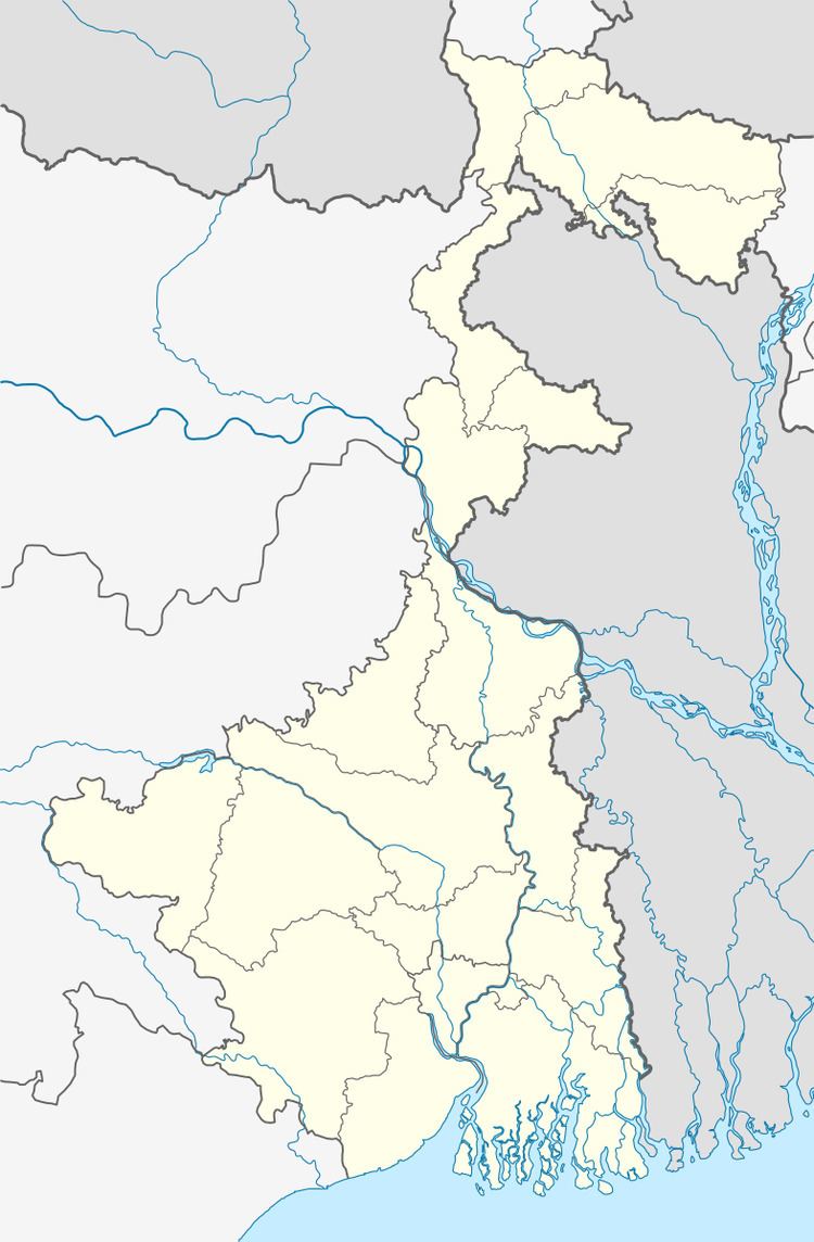
Map of Balarampur, West Bengal 723143
Geography
Balarampur is located at 23.12°N 86.22°E / 23.12; 86.22. It has an average elevation of 300 m (984 ft).
Distance from district headquarters Purulia is 32 km and near about 60 km from Jamshedpur.
The area forms the lowest step of the Chota Nagpur Plateau. The general scenario is undulating land with scattered hills. Situated at South of the Ayodhya Hill Range.
Police station
Balarampur police station has jurisdiction over Balarampur CD Block. The area covered is 299.5 km2 and the population covered is 139,744. It has 12.39 km inter-state border with Nimdih PS in Seraikela Kharsawan district of Jharkhand.
Demographics
As per 2011 Census of India Balarampur had a total population of 24,431 of which 12,681 (52%) were males and 11,750 (48%) were females. Population below 6 years was 3,160. The total number of literates in Balarampur was 15,948 (74.98% of the population over 6 years).
As of 2001 India census, Balarampur had a population of 21,824. Males constitute 52% of the population and females 48%. Balarampur has an average literacy rate of 58%, lower than the national average of 59.5%; with 63% of the males and 37% of females literate. 14% of the population is under 6 years of age.
Economics
Balarmpur is a centre of sheelac industry and business.
Transport
Two important roads National Highway 18 and State Highway 4 crossing each over at this town and this Junction is called Balarampur Chawk.
The Adra-Chandil section of the Asansol-Tatanagar-Kharagpur line of South Eastern Railway passes through this CD Block and there is a station at Barabhum.
